Ealing
Ealing/244654CND
Land And Buildings To The Rear Of The Red Lion 96 - 100 High Street Southall UB1 3DN
- Reference
- Ealing/244654CND
- Authority
- Ealing
- Application type
- CND
- Address
- Land And Buildings To The Rear Of The Red Lion 96 - 100 High Street Southall UB1 3DN
- Postcode
- UB1 3DN
- Status
- Approved
- Decision
- Approved
- Received
- 6 Dec 2024
- Validated
- 6 Dec 2024
- Started
- 6 Dec 2024
- Decided
- 22 Oct 2025
- Source council
- Ealing
- Council source record
- View public record
- Public data licence
- Open Government Licence v3.0
- Record updated
- 18 Jul 2026
- SEO index generated
- 24 Jul 2026
Location
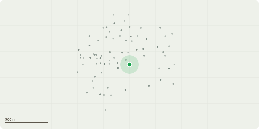
Approximate location
Proposal
Details of Cycle Parking pursuant to condition 19 of planning permission 213386VAR dated 23.03.2022 for 'Application for a Minor Material Amendment (S73a) to vary condition 2 (Approved Drawings) of planning permission ref: 192888FUL dated 05/03/2021 for: Redevelopment of the site to provide 149 residential units and 1x ground floor flexible retail/professional services/café or restaurant unit (A1/A2/A3 use classes) accommodated within three residential buildings ranging in height from four to fifteen storeys (inclusive of plant), with associated landscaping and blue badge parking (following demolition of buildings and structures on site). Amendments comprise of the following: design refinements to massing and façade design; reduction in size of the commercial unit by 37sqm.; amendment to mix of residential units to reduce the number of studios and two-bedroom units and increase the number of one bedroom and three bedroom units; reduction in height of Block B by 1 habitable floor and increase the height of Block C by 2 habitable floors; building entrances located within Block B + C accessed from central courtyard; cycle storage in blocks B + C relocated adjacent to main building entrances; cycle storage for blocks B + C relocated within the buildings'
Key dates
- Received 6 Dec 2024
- Validated 6 Dec 2024
- Started 6 Dec 2024
- Decided 22 Oct 2025
Planning history / related applications
No related planning applications have been identified in the current public OGL dataset.
Inside plotEdge
Go beyond the public record
This page is the public OGL record. plotEdge adds the private intelligence layer for this site - open it in the app to unlock:
- Ownership & title Registered owner and title from HM Land Registry.
- Viability & build potential Site scoring and development upside.
- Constraints Flood risk, green belt, conservation areas and designations.
- Approval signal Planning risk and approval-likelihood analysis.
- Comparable applications Decisions on similar nearby sites, side by side.
- Status alerts Get notified the moment this application changes.
Source: public planning application data from Ealing, reused under the Open Government Licence v3.0. View the council source record. Council documents and drawings are not republished on plotEdge.