Ealing
Ealing/244029VAR
Sherwood Close (Former Dean Gardens Estate) West Ealing London W13 9YP
- Reference
- Ealing/244029VAR
- Authority
- Ealing
- Application type
- Variation of condition
- Address
- Sherwood Close (Former Dean Gardens Estate) West Ealing London W13 9YP
- Postcode
- W13 9YP
- Status
- Granted with S106 conditions
- Decision
- Grant with S106 Obligations
- Received
- 24 Oct 2024
- Validated
- 24 Oct 2024
- Started
- 24 Oct 2024
- Decided
- 18 Mar 2025
- Source council
- Ealing
- Council source record
- View public record
- Public data licence
- Open Government Licence v3.0
- Record updated
- 18 Jul 2026
- SEO index generated
- 24 Jul 2026
Location
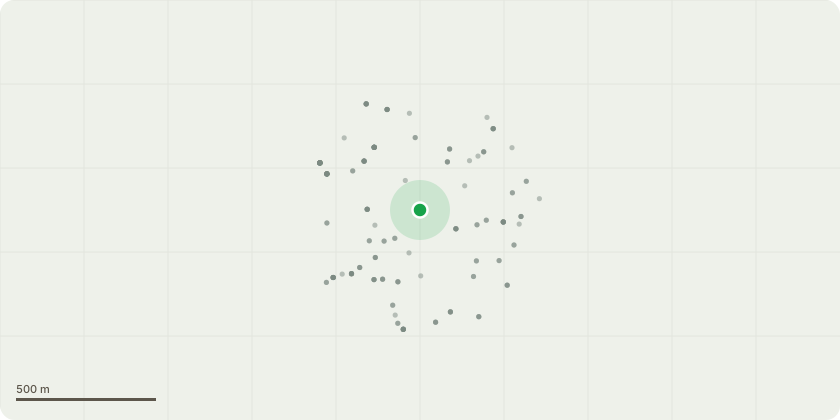
Approximate location
Proposal
Minor Material Amendment (S.73) to vary condition 2 (approved documents) involving increasing the number of homes from 185 to 188 homes alterations to the floor plans including removal of undercroft parking in Block C3 creation of a substation for Phase 3 within Block C2 consolidation of cycle storage larger plant room within Block C1 internal corridor layout amendments to external landscape space additional on-street carparking spaces relocation of bulky waste store in Block C1 and the provision of a communal roof terrace at 9th floor of Block C1 pursuant to planning permission reference: 223090FUL dated 06/09/2024 (as amended by 244022NMA, dated 22/11/2024) for: Redevelopment of the site including the demolition of the existing building and construction of 2 buildings ranging in height from 6 to 14 storeys to provide self-contained residential units (Class C3) together with hard and soft landscaping, car parking, cycle storage and other associated works.
Key dates
- Received 24 Oct 2024
- Validated 24 Oct 2024
- Started 24 Oct 2024
- Decided 18 Mar 2025
Planning history / related applications
No related planning applications have been identified in the current public OGL dataset.
Inside plotEdge
Go beyond the public record
This page is the public OGL record. plotEdge adds the private intelligence layer for this site - open it in the app to unlock:
- Ownership & title Registered owner and title from HM Land Registry.
- Viability & build potential Site scoring and development upside.
- Constraints Flood risk, green belt, conservation areas and designations.
- Approval signal Planning risk and approval-likelihood analysis.
- Comparable applications Decisions on similar nearby sites, side by side.
- Status alerts Get notified the moment this application changes.
Source: public planning application data from Ealing, reused under the Open Government Licence v3.0. View the council source record. Council documents and drawings are not republished on plotEdge.