Ealing
Ealing/243471OPDNMA
The Portal Land At Wales Farm Road & Portal Way Acton W3 6EJ
- Reference
- Ealing/243471OPDNMA
- Authority
- Ealing
- Application type
- OPDNMA
- Address
- The Portal Land At Wales Farm Road & Portal Way Acton W3 6EJ
- Postcode
- W3 6EJ
- Status
- Approved
- Decision
- Approved
- Received
- 3 Sept 2024
- Validated
- 3 Sept 2024
- Started
- 3 Sept 2024
- Decided
- 19 Sept 2024
- Source council
- Ealing
- Council source record
- View public record
- Public data licence
- Open Government Licence v3.0
- Record updated
- 18 Jul 2026
- SEO index generated
- 24 Jul 2026
Location
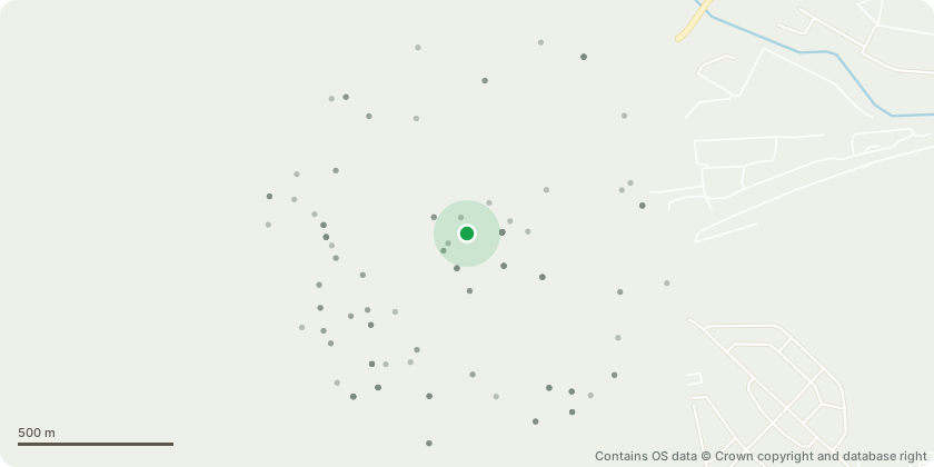
Approximate location - Contains OS data © Crown copyright and database right
Proposal
Application for a Non-Material Amendment (S96a) to planning permission ref: 165514OPDFUL dated 20/10/2023 for: 'Redevelopment of the site to provide a single storey basement with a part 10, part 36 storey building comprising 350 residential units and ancillary facilities (Use Class C3) with a mix of studio, 1 bed, 2 bed and 3 bed flats and 503qm (GIA) of flexible use class E and/or Sui Generis (pub/wine bar/drinking establishment) and/or F1 and/or F2 floorspace and a landscaped public realm, together with associated public and private amenity space, cycle parking, car parking, servicing, landscaping and other associated works (Full Planning Application accompanied by an Environmental Impact Assessment) (Amended description, revised plans and affordable housing received 17/07/20).' Amendment includes changing the trigger point for submitting the details required by condition 24 from prior to the completion of the basement to prior to the occupation of the basement.
Key dates
- Received 3 Sept 2024
- Validated 3 Sept 2024
- Started 3 Sept 2024
- Decided 19 Sept 2024
Planning history / related applications
No related planning applications have been identified in the current public OGL dataset.
Inside plotEdge
Go beyond the public record
This page is the public OGL record. plotEdge adds the private intelligence layer for this site - open it in the app to unlock:
- Ownership & title Registered owner and title from HM Land Registry.
- Viability & build potential Site scoring and development upside.
- Constraints Flood risk, green belt, conservation areas and designations.
- Approval signal Planning risk and approval-likelihood analysis.
- Comparable applications Decisions on similar nearby sites, side by side.
- Status alerts Get notified the moment this application changes.
Source: public planning application data from Ealing, reused under the Open Government Licence v3.0. View the council source record. Council documents and drawings are not republished on plotEdge.