Dover
Dover/TC/24/00155
4 Saxon Street Dover CT17 9RT
- Reference
- Dover/TC/24/00155
- Authority
- Dover
- Address
- 4 Saxon Street Dover CT17 9RT
- Postcode
- CT17 9RT
- Status
- Unknown
- Decision
- Raise Objections
- Received
- 28 Nov 2024
- Validated
- 28 Nov 2024
- Started
- 28 Nov 2024
- Decided
- 7 Jan 2025
- Source council
- Dover
- Council source record
- View public record
- Public data licence
- Open Government Licence v3.0
- Record updated
- 18 Jul 2026
- SEO index generated
- 24 Jul 2026
Location
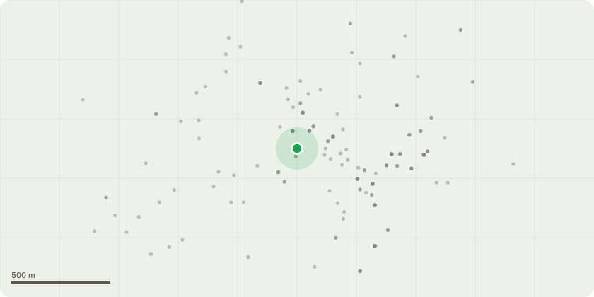
Approximate location
Proposal
Fell one Silver Birch tree situated within a conservation area. Reason for application:I am applying to request the tree be felled by a professional tree surgeon (likely Leaf Tree Services) for multiple reasons but the primary reason is the need to make my house accessible for 2025. In late 2025 I will be partly caring for a wheelchair user, and step 1 of adapting my home to make it accessible is going to be paving over my drive to ensure this is wheelchair friendly. I will be seeking further planning advice and the necessary permissions to pave my driveway. Unfortunately, having sought expert advise, no contractor would advise proceeding with levelling/paving my driveway due to the overgrown roots of the tree which makes the ground uneven. Therefore, no wheelchair user or disabled person would be able to gain access to my property until the tree roots have been removed. I myself have recently been diagnosed with a condition affecting my physical co-ordination, and I anticipate the uneven ground will be an issue in years to come. On top of this, the tree is overgrown, obstructing natural light and interfering with network cables. The average cost to have the crown reduced is ?400 a time, with the recommendation of doing this twice annually is an expense I cannot afford. Finally, the tree and its subsequent sap is at risk of causing damage to my car and my neighbours car.
Key dates
- Received 28 Nov 2024
- Validated 28 Nov 2024
- Started 28 Nov 2024
- Decided 7 Jan 2025
Planning history / related applications
No related planning applications have been identified in the current public OGL dataset.
Inside plotEdge
Go beyond the public record
This page is the public OGL record. plotEdge adds the private intelligence layer for this site - open it in the app to unlock:
- Ownership & title Registered owner and title from HM Land Registry.
- Viability & build potential Site scoring and development upside.
- Constraints Flood risk, green belt, conservation areas and designations.
- Approval signal Planning risk and approval-likelihood analysis.
- Comparable applications Decisions on similar nearby sites, side by side.
- Status alerts Get notified the moment this application changes.
Source: public planning application data from Dover, reused under the Open Government Licence v3.0. View the council source record. Council documents and drawings are not republished on plotEdge.