Dover
Dover/CON/20/00536/DD
Dover Town Hall High Street Dover Kent CT16 1DL
- Reference
- Dover/CON/20/00536/DD
- Authority
- Dover
- Application type
- DD
- Address
- Dover Town Hall High Street Dover Kent CT16 1DL
- Postcode
- CT16 1DL
- Status
- Decided
- Decision
- Condition Approved
- Received
- 18 Mar 2025
- Validated
- 18 Mar 2025
- Started
- 18 Mar 2025
- Decided
- 28 Mar 2025
- Source council
- Dover
- Council source record
- View public record
- Public data licence
- Open Government Licence v3.0
- Record updated
- 18 Jul 2026
- SEO index generated
- 24 Jul 2026
Location
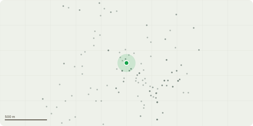
Approximate location
Proposal
Discharge of condition 6 (storage of refuse and recycling) pursuant to application 20/00536 Change of use of Mayor's Parlour to holiday let and Old Goal to commercial let Mixed Use A3 (restaurant/cafe) and A4 (Drinking Established), reinstatement of Weathervane to clock tower turret and vent hood to Council chamber roof, formation of opening to roof for lift overrun, new entrance to Connaught Hall, relocation of chimney stack, replace 2no. windows with doorways, reinstatement of Burges's link and erection external stairway in Courtyard, re-modern of Ante room roof to SessionsHouse and other roof alterations, erection of new chimney stack for kitchen extraction, new door to blocked-up opening to Stone hall turret, new vents, grilles and louvre's to Ladywell facade, new and replacement rainwater and drainage goods, new roof lantern, erection of fixed access ladder and relocation of external electric box (demolition of 20th century extension of Mayor's Parlour and removal of external access ladders and gantries)
Key dates
- Received 18 Mar 2025
- Validated 18 Mar 2025
- Started 18 Mar 2025
- Decided 28 Mar 2025
Planning history / related applications
No related planning applications have been identified in the current public OGL dataset.
Inside plotEdge
Go beyond the public record
This page is the public OGL record. plotEdge adds the private intelligence layer for this site - open it in the app to unlock:
- Ownership & title Registered owner and title from HM Land Registry.
- Viability & build potential Site scoring and development upside.
- Constraints Flood risk, green belt, conservation areas and designations.
- Approval signal Planning risk and approval-likelihood analysis.
- Comparable applications Decisions on similar nearby sites, side by side.
- Status alerts Get notified the moment this application changes.
Source: public planning application data from Dover, reused under the Open Government Licence v3.0. View the council source record. Council documents and drawings are not republished on plotEdge.