Dorset
Dorset/P/VOL/2026/00056
Kingston Lacy House Access To Kingston Lacy House From Blandford Road Kingston Lacy BH21 4EA
- Reference
- Dorset/P/VOL/2026/00056
- Authority
- Dorset
- Application type
- Variation of Condition - Listed Building Consent
- Address
- Kingston Lacy House Access To Kingston Lacy House From Blandford Road Kingston Lacy BH21 4EA
- Postcode
- BH21 4EA
- Status
- Application Approved
- Decision
- Granted
- Received
- 21 Jan 2026
- Started
- 21 Jan 2026
- Decided
- 18 Mar 2026
- Source council
- Dorset
- Council source record
- View public record
- Public data licence
- Open Government Licence v3.0
- Record updated
- 14 Jul 2026
- SEO index generated
- 24 Jul 2026
Location
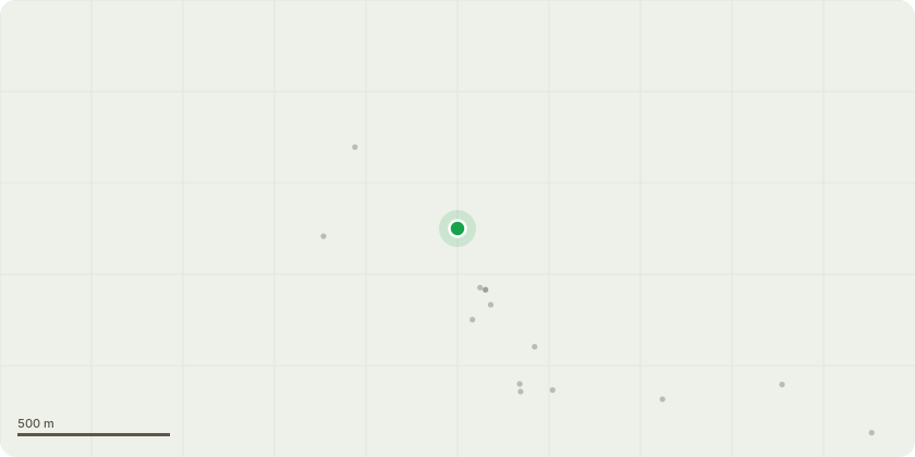
Approximate location
Proposal
Infrastructure project to include improved parking facilities on the existing car park; demolition and replacement of the existing visitor reception building with a new purpose built structure; new access path between the car park and the stables; toilet improvements to the existing Engine House toilet facilities; conversion of the existing staff office building to provide new accessible WC, Changing Places compliant facility, quiet room and enlarged toilet cubicles with nappy changing facilities for family use. (With variation of condition 2 of PP P/LBC/2023/05204 to simplify the specification of the Personal Mobility Vehicle (PMV) Store to reduce maintenance and improve the ease of use and amend landscape detail plan and the removal of two field maple trees (T44 & T46) in the centre of the car park)
Key dates
- Received 21 Jan 2026
- Started 21 Jan 2026
- Decided 18 Mar 2026
Planning history / related applications
No related planning applications have been identified in the current public OGL dataset.
Inside plotEdge
Go beyond the public record
This page is the public OGL record. plotEdge adds the private intelligence layer for this site - open it in the app to unlock:
- Ownership & title Registered owner and title from HM Land Registry.
- Viability & build potential Site scoring and development upside.
- Constraints Flood risk, green belt, conservation areas and designations.
- Approval signal Planning risk and approval-likelihood analysis.
- Comparable applications Decisions on similar nearby sites, side by side.
- Status alerts Get notified the moment this application changes.
Source: public planning application data from Dorset, reused under the Open Government Licence v3.0. View the council source record. Council documents and drawings are not republished on plotEdge.