Dorset
Dorset/P/TRT/2026/03082
Yew Tree Cottage High Street Sixpenny Handley SP5 5NR
- Reference
- Dorset/P/TRT/2026/03082
- Authority
- Dorset
- Application type
- Tree Works- TPO
- Address
- Yew Tree Cottage High Street Sixpenny Handley SP5 5NR
- Postcode
- SP5 5NR
- Status
- Under Officer Consideration
- Received
- 8 Jun 2026
- Started
- 8 Jun 2026
- Source council
- Dorset
- Council source record
- View public record
- Public data licence
- Open Government Licence v3.0
- Record updated
- 14 Jul 2026
- SEO index generated
- 24 Jul 2026
Location
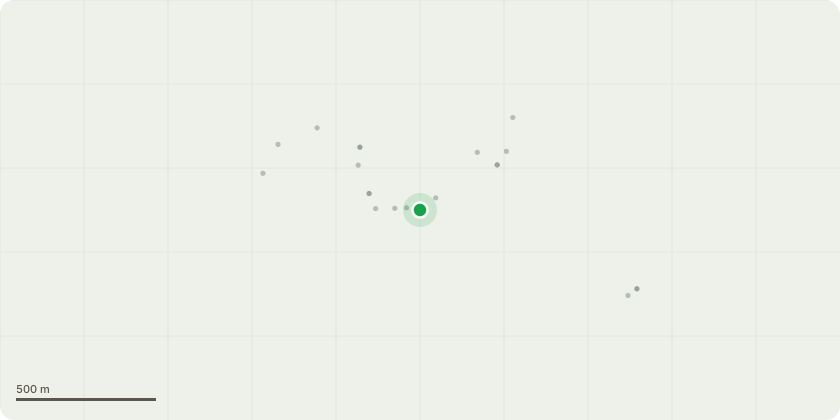
Approximate location
Proposal
Land adjacent to T1 Yew: Install an additional parking area in front of property which will involve the use of "eco grid" material being placed on top of the grass covering an area approximately 3.5m x 2.5m in size. Whilst this area will sit within the root protection zone of the yew tree, it will be directly in front of, and abutting, Yew Tree Cottage. The parking area will also be significantly further away from the trunk of the yew tree than the established parking area already in regular use by the neighbouring property at Victory House. Recent land survey document submitted showing the current positioning of all items, as well as an additional annotated version of this plan showing the proposed area to be used. These plans show the scale of the image, the positioning of Yew Tree Cottage on the site, as well as adjacent property locations in the private development. There will be little to no digging involved, nor roots exposed. Propose to place this recommended grid on top of the existing surface with minimal level adjustments which will ensure the grid sits flush on the surface, following the direct guidance from the manufacturer to ensure correct and accurate fitment.
Key dates
- Received 8 Jun 2026
- Started 8 Jun 2026
Planning history / related applications
No related planning applications have been identified in the current public OGL dataset.
Inside plotEdge
Go beyond the public record
This page is the public OGL record. plotEdge adds the private intelligence layer for this site - open it in the app to unlock:
- Ownership & title Registered owner and title from HM Land Registry.
- Viability & build potential Site scoring and development upside.
- Constraints Flood risk, green belt, conservation areas and designations.
- Approval signal Planning risk and approval-likelihood analysis.
- Comparable applications Decisions on similar nearby sites, side by side.
- Status alerts Get notified the moment this application changes.
Source: public planning application data from Dorset, reused under the Open Government Licence v3.0. View the council source record. Council documents and drawings are not republished on plotEdge.