Dorset
Dorset/P/TRT/2026/00449
Amberwood Ferndown BH22 9JT
- Reference
- Dorset/P/TRT/2026/00449
- Authority
- Dorset
- Application type
- Tree Works- TPO
- Address
- Amberwood Ferndown BH22 9JT
- Postcode
- BH22 9JT
- Status
- Application Approved
- Decision
- Tree Works - TPO - Consent
- Received
- 23 Jan 2026
- Started
- 23 Jan 2026
- Decided
- 19 Feb 2026
- Source council
- Dorset
- Council source record
- View public record
- Public data licence
- Open Government Licence v3.0
- Record updated
- 14 Jul 2026
- SEO index generated
- 24 Jul 2026
Location
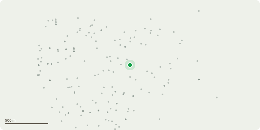
Approximate location
Proposal
G9 Mixed broadleaves and conifers x 30 - Crown lift all trees over driveway to 4m. T131 Holly - Re-pollard. Remove epicormic. T255 English Oak - Remove defective branches. T256 English Oak - Remove crossing branches. T257 Scots Pine - Fell to ground level. T342 Silver Fir - Prune to clear buildings, remove 6-7 branches on property side. T346 English Oak - Fell to ground level. T390 Sweet Chestnut - Re-pollard. T392 Sweet Chestnut - Re-coppice stem that has been topped. T393 Sweet Chestnut - Re-coppice. T394 Sweet Chestnut - Crown reduce by 3m over property. T454 Holly - Re-coppice central stem only. T455 Sweet Chestnut - Remove base suckers/epicormic growth. T457 Silver Birch - Fell to ground level. T459 Silver Birch - Fell to ground level. T461 English Oak - Fell to ground level. T462 English Oak - Fell to ground level. G7 Mixed broadleaves and conifers - Prune to clear buildings (x 2 trees). Crown lift to 3m over verge (x 4 trees). T185 English Oak - Reduce main stem over highway by up to 1.5m. T194 English Oak - Crown reduction on southwest stem over road. T206 Goat Willow - Establish new pollard points at approximately 5m. T207 Goat Willow - Establish new pollard points at approximately 3m. T210 Crack Willow - Establish new pollard points just above union at approximately 2m. G216.1 Laurel - Prune to clear boundaries T234 English Oak - Crown lift to 5.2m over highway. Crown lift to 4m over parking area. T235 Cherry - Crown lift to 5.2m over highway. Crown lift to 4m over parking area. T236 Ash - Fell to ground level. T237 English Oak - Crown reduce western stem only by up to 4-5m. T309 English Oak - Crown lift to 4m over highway. T314 English Oak - Remove secondary limb touching lamp post. T326 English Oak - Crown lift to 5.2m over highway. T339 English Oak - Crown lift to 3m over verge. T347 Corsican Pine - Crown lift by removing lowest limb over highway. T389 English Oak - Crown lift lowest branches in contact with garden arbour to provide 1m clearance. T395 Monterey Pine - Fell to ground level. T409 Goat Willow - Fell to ground level. T423 Goat Willow - Establish new pollard points at approximately 5m. T424 Goat Willow - Establish new pollard points at approximately 3m. T425 Silver Birch - Fell to ground level. T426 Crack Willow - Establish new pollard points at approximately 3m. T432 Silver Birch - Fell to ground level. T433 Silver Birch - Fell to ground level. T434 Silver Birch - Fell to ground level. T438 Beech - Prune to clear lamp column by 1m. T440 Goat Willow - Fell to ground level. T445 Silver Birch - Fell to ground level. T446 Sweet Chestnut - Re-coppice. T449 English Oak - Prune to clear lamp column and light splay by 1m. T450 Oak - Fell to ground level. T451 Evergreen Oak - Remove crossing limb back just below crossing point, back to epicormic growth. Crown lift to remove lowest branches over fence. (Please refer to supporting document Amberwood, Ferndown Tree works Schedule Report)
Key dates
- Received 23 Jan 2026
- Started 23 Jan 2026
- Decided 19 Feb 2026
Planning history / related applications
No related planning applications have been identified in the current public OGL dataset.
Inside plotEdge
Go beyond the public record
This page is the public OGL record. plotEdge adds the private intelligence layer for this site - open it in the app to unlock:
- Ownership & title Registered owner and title from HM Land Registry.
- Viability & build potential Site scoring and development upside.
- Constraints Flood risk, green belt, conservation areas and designations.
- Approval signal Planning risk and approval-likelihood analysis.
- Comparable applications Decisions on similar nearby sites, side by side.
- Status alerts Get notified the moment this application changes.
Source: public planning application data from Dorset, reused under the Open Government Licence v3.0. View the council source record. Council documents and drawings are not republished on plotEdge.