Dorset
Dorset/P/TRT/2025/00501
275 Christchurch Road West Parley BH22 8SQ
- Reference
- Dorset/P/TRT/2025/00501
- Authority
- Dorset
- Application type
- Tree Works- TPO
- Address
- 275 Christchurch Road West Parley BH22 8SQ
- Postcode
- BH22 8SQ
- Status
- Application Approved
- Decision
- Tree Works - TPO - Consent
- Received
- 17 Mar 2025
- Started
- 17 Mar 2025
- Decided
- 8 Apr 2025
- Source council
- Dorset
- Council source record
- View public record
- Public data licence
- Open Government Licence v3.0
- Record updated
- 14 Jul 2026
- SEO index generated
- 24 Jul 2026
Location
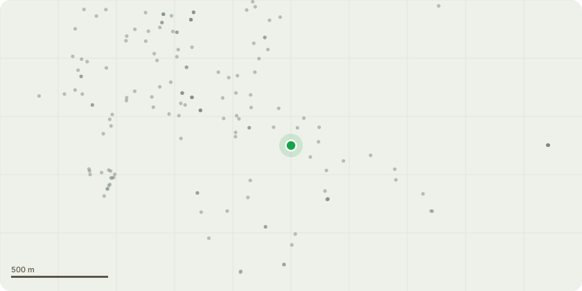
Approximate location
Proposal
T29 English Oak - Remove hazard beam branch. Reduce extended branch by 2m above young Fastigiate Beech below, to encourage and upwards growth habit. T32A Irish Yew - Remove lower branches and stems facing north east in order to give a more upright appearance. T35 Oak - Reduce significant chaffing branch directly above corner of play equipment to suitable growing point further in from point of contact. T36 English Oak - Remove epicormic branches/growth on main stem up to 7m from ground level. Remove singular branch directly above play equipment. T38 Oak - Remove x2 lowest limbs above car park to reduce weight stress burden and potential failure of fork union. T39B Oak - Remove secondary branch above parking spaces facing south east to reduce weight stress burden on union at 3m from ground level. T39C Oak - Remove all epicormic growth up to 5m from ground level. T40 Oak - Remove x1 handing chafing branch in contact with main stem at 9m from ground level. T40A Oak - Remove previously reduced stubbed branch back to main stem at 4m from ground level. T41 Oak - Remove previously reduced stubbed stem back to main stem. T42 Oak - Remove 5m long decaying dead/dying stem to ground level. T44 Oak - Remove smaller stem to union.
Key dates
- Received 17 Mar 2025
- Started 17 Mar 2025
- Decided 8 Apr 2025
Planning history / related applications
No related planning applications have been identified in the current public OGL dataset.
Inside plotEdge
Go beyond the public record
This page is the public OGL record. plotEdge adds the private intelligence layer for this site - open it in the app to unlock:
- Ownership & title Registered owner and title from HM Land Registry.
- Viability & build potential Site scoring and development upside.
- Constraints Flood risk, green belt, conservation areas and designations.
- Approval signal Planning risk and approval-likelihood analysis.
- Comparable applications Decisions on similar nearby sites, side by side.
- Status alerts Get notified the moment this application changes.
Source: public planning application data from Dorset, reused under the Open Government Licence v3.0. View the council source record. Council documents and drawings are not republished on plotEdge.