Dorset
Dorset/P/TRC/2024/07497
National Trust Middle Beach Workshop Marine Terrace Beach Road Swanage BH19 3AX
- Reference
- Dorset/P/TRC/2024/07497
- Authority
- Dorset
- Application type
- Tree Works- Conservation Area
- Address
- National Trust Middle Beach Workshop Marine Terrace Beach Road Swanage BH19 3AX
- Postcode
- BH19 3AX
- Status
- Response Issued
- Decision
- Tree Works - CA - No Objection
- Received
- 20 Dec 2024
- Started
- 20 Dec 2024
- Decided
- 16 Jan 2025
- Source council
- Dorset
- Council source record
- View public record
- Public data licence
- Open Government Licence v3.0
- Record updated
- 14 Jul 2026
- SEO index generated
- 24 Jul 2026
Location
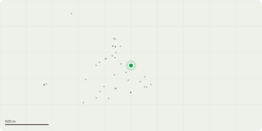
Approximate location
Proposal
Map 1 - Schedule of works: Tag 0469 Holly (northern end of Middle Beach workshop): Fell to ground. Tag 0789 Ash (gravel area south of Middle Beach workshop): Fell to ground. Tag 0237 Cherry (northern corner of Middle Beach car park): Remove 2 x squirrel damaged branches overhanging parking space on southwestern side. Cut back to junction. Tag 0258 Oak (northwestern end of Middle Beach car park): Remove squirrel damaged limb overhanging parking space. Cut back to branch junction. Tag 0211 Oak (southern end of Middle Beach car park): Remove 2 x damaged branches overhanging parking spaces. The Combe -2024-1 Ash (junction of Combe footpath and Beach Road): Fell to ground. Stables -2024-1 Group of 10 dead Elm stems (junction of Ferry Road and entrance to Studland Stables: Fell to ground. Tag 0740 Sycamore (footpath between Middle Beach car park and Fort Henry): Remove squirrel damaged branch overhanging footpath. Map 2 - Schedule of works: Tag 0057 Ash (land adjacent to Glen House/Studland Village Store): Deadwood. Remove damaged branch (2nd major branch). Tag 0631 Silver Birch (land adjacent to Old Schoolhouse): Remove broken branch overhanging rear garden. Tag 0619 2 x dead Elm (junction of public footpath and School Lane): Fell to ground. Tag 0618 Elm (land between Manor Farm and public footpath): Fell to ground. Tag 0622 (junction of public footpath SE22/13 and School Lane): Fell to ground. Tag 0630 5 x dead Elm (adjacent to Manor Farm and School Lane): Fell to ground. Tag 0802 Ash (northeast corner of South Beach car park): Remove 2 x damaged branches. Tag 0616 Elm (3 Watery Lane): Fell to ground. Map 3 - Schedule of works. -2024-6 10 x Ash (adjacent to public bridleway No. 9): Fell to ground.
Key dates
- Received 20 Dec 2024
- Started 20 Dec 2024
- Decided 16 Jan 2025
Planning history / related applications
No related planning applications have been identified in the current public OGL dataset.
Inside plotEdge
Go beyond the public record
This page is the public OGL record. plotEdge adds the private intelligence layer for this site - open it in the app to unlock:
- Ownership & title Registered owner and title from HM Land Registry.
- Viability & build potential Site scoring and development upside.
- Constraints Flood risk, green belt, conservation areas and designations.
- Approval signal Planning risk and approval-likelihood analysis.
- Comparable applications Decisions on similar nearby sites, side by side.
- Status alerts Get notified the moment this application changes.
Source: public planning application data from Dorset, reused under the Open Government Licence v3.0. View the council source record. Council documents and drawings are not republished on plotEdge.