Dorset
Dorset/P/TRC/2024/05629
Kingston Lacy grounds Wimborne BH21 4EA
- Reference
- Dorset/P/TRC/2024/05629
- Authority
- Dorset
- Application type
- Tree Works- Conservation Area
- Address
- Kingston Lacy grounds Wimborne BH21 4EA
- Postcode
- BH21 4EA
- Status
- Response Issued
- Decision
- Tree Works - CA - No Objection
- Received
- 30 Sept 2024
- Started
- 30 Sept 2024
- Decided
- 25 Oct 2024
- Source council
- Dorset
- Council source record
- View public record
- Public data licence
- Open Government Licence v3.0
- Record updated
- 14 Jul 2026
- SEO index generated
- 24 Jul 2026
Location
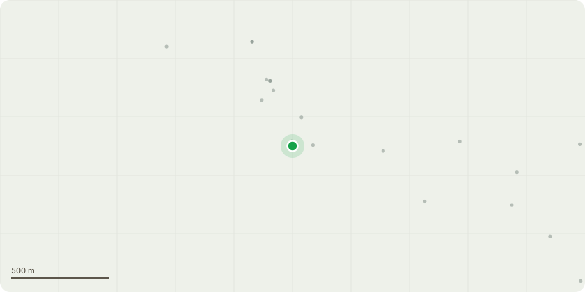
Approximate location
Proposal
2 Lime (tag no 6476) - Reduce dead central stem to a short stable stub. Reduce overall height of remaining crown by approx. 3 metres. 3 Lime (tag no 6477) - Moderate sized dead branch in southern side of upper crown. Remove dead branch in conjunction with pruning of lime 6476. 4 Beech (tag no 4941) - Reduce overall height by up to 4 metres, whilst retaining sufficient foliage bearing growth to sustain the tree, with the lower upright branches being cut back by 2-3 metres. 5 Beech (tag no 4984) - Remove modest sized dead branch in southern side of upper crown. 6 Beech (tag no 4953) - Truncate the northern stem 1.5 metres out from base to remove majority of the weight from the path side of the crown. Remove the dominant lower section of the low forked limb extending north over the bench beside the path. 7 Copper Beech (tag no 4708) - Undertake a further overall reduction of 1.5-2 metres. 8 Holm Oak (tag no 2111) - Reduce height of north-eastern stem by approx. 3 metres to diminish leverage on basal fork. 9 Horse Chestnut (tag no 3407) - Low sweeping limb obstructing vehicle/pedestrian access along path. Prune limb back to trunk along blue line in annotated pictures supplied.
Key dates
- Received 30 Sept 2024
- Started 30 Sept 2024
- Decided 25 Oct 2024
Planning history / related applications
No related planning applications have been identified in the current public OGL dataset.
Inside plotEdge
Go beyond the public record
This page is the public OGL record. plotEdge adds the private intelligence layer for this site - open it in the app to unlock:
- Ownership & title Registered owner and title from HM Land Registry.
- Viability & build potential Site scoring and development upside.
- Constraints Flood risk, green belt, conservation areas and designations.
- Approval signal Planning risk and approval-likelihood analysis.
- Comparable applications Decisions on similar nearby sites, side by side.
- Status alerts Get notified the moment this application changes.
Source: public planning application data from Dorset, reused under the Open Government Licence v3.0. View the council source record. Council documents and drawings are not republished on plotEdge.