Dorset
Dorset/P/NMA/2024/07596
Whinridge Holt Road Mannington BH21 7JZ
- Reference
- Dorset/P/NMA/2024/07596
- Authority
- Dorset
- Application type
- Non Material Amendment
- Address
- Whinridge Holt Road Mannington BH21 7JZ
- Postcode
- BH21 7JZ
- Status
- Application Refused
- Decision
- Refused
- Received
- 24 Dec 2024
- Started
- 24 Dec 2024
- Decided
- 24 Jan 2025
- Source council
- Dorset
- Council source record
- View public record
- Public data licence
- Open Government Licence v3.0
- Record updated
- 14 Jul 2026
- SEO index generated
- 24 Jul 2026
Location
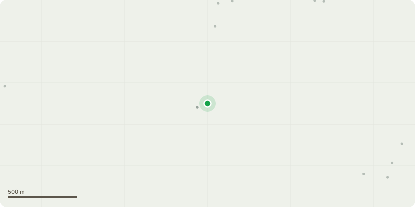
Approximate location
Proposal
Non material amendment to Approved P/A P/FUL/2021/05632 (Demolition of existing dwelling, garage and outbuildings; re-development with a detached house and separate garage / outbuilding; installation of replacement septic tank) to Straighten out wall on North West and South East elevation , Change the outer face from brick to Western Red Cedar with shadow gap to the main house and render the single story area marked on the original plan as a boot and utility room with Sandtex Pure Brilliant White covering , Amend the oak framing to Aluminium profile from the Smarts system Range; The colour is RAL 9005matt , keep the ground level the same as the existing ground level and not drop the whole site by 600mm andChange the Garden Room frame pillars to Glulam
Key dates
- Received 24 Dec 2024
- Started 24 Dec 2024
- Decided 24 Jan 2025
Planning history / related applications
No related planning applications have been identified in the current public OGL dataset.
Inside plotEdge
Go beyond the public record
This page is the public OGL record. plotEdge adds the private intelligence layer for this site - open it in the app to unlock:
- Ownership & title Registered owner and title from HM Land Registry.
- Viability & build potential Site scoring and development upside.
- Constraints Flood risk, green belt, conservation areas and designations.
- Approval signal Planning risk and approval-likelihood analysis.
- Comparable applications Decisions on similar nearby sites, side by side.
- Status alerts Get notified the moment this application changes.
Source: public planning application data from Dorset, reused under the Open Government Licence v3.0. View the council source record. Council documents and drawings are not republished on plotEdge.