Doncaster
Doncaster/24/02307/MAT
Askern UK High Street Askern Doncaster DN6 0AA
- Reference
- Doncaster/24/02307/MAT
- Authority
- Doncaster
- Application type
- MAT
- Address
- Askern UK High Street Askern Doncaster DN6 0AA
- Postcode
- DN6 0AA
- Status
- Decided
- Decision
- Planning Not Required (Det)
- Received
- 17 Dec 2024
- Validated
- 17 Dec 2024
- Started
- 17 Dec 2024
- Decided
- 11 Feb 2025
- Source council
- Doncaster
- Council source record
- View public record
- Public data licence
- Open Government Licence v3.0
- Record updated
- 18 Jul 2026
- SEO index generated
- 24 Jul 2026
Location
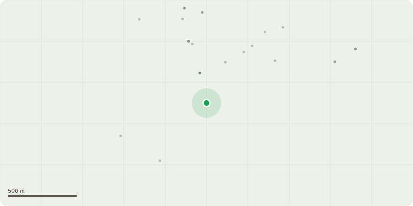
Approximate location
Proposal
Details of access, appearance, landscaping, layout and scale for 191 dwellings, associated infrastructure and onsite open space (being matters reserved in outline application previously granted permission under reference 08/01077/OUTA on 11.07.2013)(being amendment to previous permission 16/01651/REMM granted on 26/06/2024 - Plot 7-8 parking provision reduced from 2 to 1 in keeping with all other 2 Bed Robins on the site.Visitor parking bay moved position outside Plot 7 with space for vehicles to turn around in the private drive.Plot 16 Malham M4(3) driveway moved from between plot 15-16 to rear of Plot 16 garden.Plot 41 Helmsley plot handed for meter box technical requirements.Plots 25 and 114 type corrected to 3 Bed with new name Emley M4(2).Plots 51, 65, 80, 159 and 165 type corrected to 3 Bed with new name Brimham M4(2).Plots 59-64 repositioned for technical Part M4(2) improvement and to provide Plot 62 its own footpath for meter box connection.Plots 117-118 adopted road dead end changed to stub private shared drive reducing length of adopted turning head to 13m from centre line of road.Plots 74-77 positions amended with shared drive reconfigured for fire engine turning facility. Wentworth types handed to move Utility door access on to driveway side elevation.
Key dates
- Received 17 Dec 2024
- Validated 17 Dec 2024
- Started 17 Dec 2024
- Decided 11 Feb 2025
Planning history / related applications
No related planning applications have been identified in the current public OGL dataset.
Inside plotEdge
Go beyond the public record
This page is the public OGL record. plotEdge adds the private intelligence layer for this site - open it in the app to unlock:
- Ownership & title Registered owner and title from HM Land Registry.
- Viability & build potential Site scoring and development upside.
- Constraints Flood risk, green belt, conservation areas and designations.
- Approval signal Planning risk and approval-likelihood analysis.
- Comparable applications Decisions on similar nearby sites, side by side.
- Status alerts Get notified the moment this application changes.
Source: public planning application data from Doncaster, reused under the Open Government Licence v3.0. View the council source record. Council documents and drawings are not republished on plotEdge.