Darlington
Darlington/25/00723/FUL
Halliwell Farm Highside Road Heighington DARLINGTON DL2 2UX
- Reference
- Darlington/25/00723/FUL
- Authority
- Darlington
- Application type
- Full permission
- Address
- Halliwell Farm Highside Road Heighington DARLINGTON DL2 2UX
- Postcode
- DL2 2UX
- Status
- Decided
- Decision
- GRANTED WITH CONDITIONS
- Received
- 8 Jul 2025
- Validated
- 28 Jul 2025
- Started
- 28 Jul 2025
- Decided
- 6 Nov 2025
- Source council
- Darlington
- Council source record
- View public record
- Public data licence
- Open Government Licence v3.0
- Record updated
- 18 Jul 2026
- SEO index generated
- 24 Jul 2026
Location
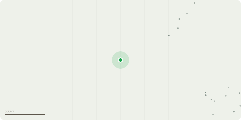
Approximate location
Proposal
Application submitted under Section 73 of the Town & Country Planning Act 1990 for the variation of Condition 2 (approved plans) and Condition 3i (external materials) attached to planning permission 23/00740/FUL dated 22 February 2024 (Conversion of existing outbuildings including partial demolition, alterations and extensions to residential dwellings (Use Class C3) with detached garages (one incorporating granny annexe) together with widening existing access track, installation of solar panels, treatment plants, boundary enclosures, landscaping and associated works (description amended by 25/00498/NMA) to permit replacement of Barn 4 and 5 with 1 No Barn (4A), reduce width of Barn 2 to the west and east elevations together with repositioning of fence to front of Barn 2, alterations to windows and doors to Barns 2 and 3 and erection of boundary wall between Barn 2 and 3 together with introduction of timber cladding to Barn 4A and Barn 3
Key dates
- Received 8 Jul 2025
- Validated 28 Jul 2025
- Started 28 Jul 2025
- Decided 6 Nov 2025
Planning history / related applications
No related planning applications have been identified in the current public OGL dataset.
Inside plotEdge
Go beyond the public record
This page is the public OGL record. plotEdge adds the private intelligence layer for this site - open it in the app to unlock:
- Ownership & title Registered owner and title from HM Land Registry.
- Viability & build potential Site scoring and development upside.
- Constraints Flood risk, green belt, conservation areas and designations.
- Approval signal Planning risk and approval-likelihood analysis.
- Comparable applications Decisions on similar nearby sites, side by side.
- Status alerts Get notified the moment this application changes.
Source: public planning application data from Darlington, reused under the Open Government Licence v3.0. View the council source record. Council documents and drawings are not republished on plotEdge.