Dacorum
Dacorum/26/00416/LDP
16 Castle Hill Berkhamsted Hertfordshire HP4 1HE
- Reference
- Dacorum/26/00416/LDP
- Authority
- Dacorum
- Application type
- LDP
- Address
- 16 Castle Hill Berkhamsted Hertfordshire HP4 1HE
- Postcode
- HP4 1HE
- Status
- Decided
- Decision
- Application Withdrawn
- Received
- 20 Feb 2026
- Validated
- 20 Feb 2026
- Started
- 20 Feb 2026
- Decided
- 11 Mar 2026
- Source council
- Dacorum
- Council source record
- View public record
- Public data licence
- Open Government Licence v3.0
- Record updated
- 18 Jul 2026
- SEO index generated
- 24 Jul 2026
Location
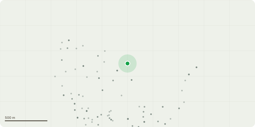
Approximate location
Proposal
Conversion of integral garage to habitable room and construction of access rampGarage conversionThe works are mostly internal. The existing garage door will be replaced with a new insulated cavity wall construction and window. The external materials will match the existing brickwork and detailing to ensure a consistent appearance. Accessible ramp and external alterationsThe proposed ramp will be formed in block paving to match the existing driveway / pathways and will include appropriate edge restraints where required. The design of the ramp (including the gradient) is shown on the submitted drawings. To accommodate the ramp, and ensure safe and practical access, the existing block paved pathway to the front of the property will be modestly extended. The additional hardstanding will be formed in block paviors to match the existing in colour, size and laying pattern, as indicated on the drawings. The overall layout of the driveway will remain substantially as existing, with no new vehicular access onto the highway and no alteration to the existing access point.AccessThere is no proposal to create a new vehicular
Key dates
- Received 20 Feb 2026
- Validated 20 Feb 2026
- Started 20 Feb 2026
- Decided 11 Mar 2026
Planning history / related applications
No related planning applications have been identified in the current public OGL dataset.
Inside plotEdge
Go beyond the public record
This page is the public OGL record. plotEdge adds the private intelligence layer for this site - open it in the app to unlock:
- Ownership & title Registered owner and title from HM Land Registry.
- Viability & build potential Site scoring and development upside.
- Constraints Flood risk, green belt, conservation areas and designations.
- Approval signal Planning risk and approval-likelihood analysis.
- Comparable applications Decisions on similar nearby sites, side by side.
- Status alerts Get notified the moment this application changes.
Source: public planning application data from Dacorum, reused under the Open Government Licence v3.0. View the council source record. Council documents and drawings are not republished on plotEdge.