Croydon
Croydon/24/04298/TRE
Turnpike Hill Trust 217A Turnpike Link Croydon CR0 5NW
- Reference
- Croydon/24/04298/TRE
- Authority
- Croydon
- Application type
- TRE
- Address
- Turnpike Hill Trust 217A Turnpike Link Croydon CR0 5NW
- Postcode
- CR0 5NW
- Status
- Decided
- Decision
- Consent Granted (Tree App.)
- Received
- 19 Dec 2024
- Validated
- 6 Jan 2025
- Started
- 6 Jan 2025
- Decided
- 14 Feb 2025
- Source council
- Croydon
- Council source record
- View public record
- Public data licence
- Open Government Licence v3.0
- Record updated
- 18 Jul 2026
- SEO index generated
- 24 Jul 2026
Location
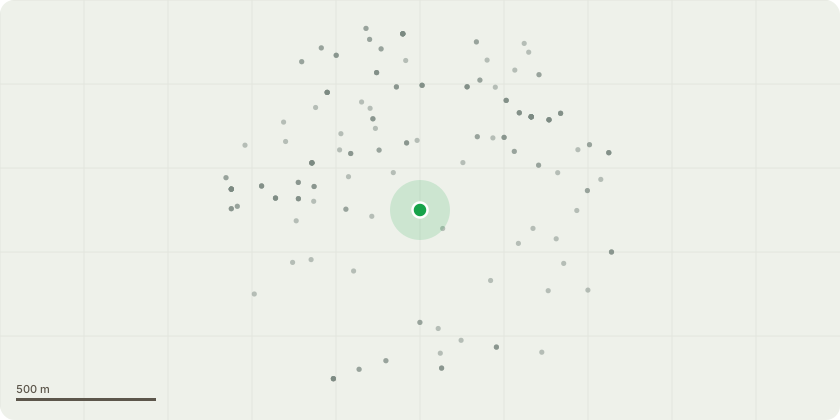
Approximate location
Proposal
T251 Ash, reduce limb extended over neighbouring property to match existing pollard points. To Balance crownT165 Silver maple - crown lift to 2.4m for pedestrian clearance, measured from pavementT167 Silver maple - clear failed hung up pollard and crown lift to 2.4m for pedestrian clearance, measured from pavementG08 mixed species - prune clear of tram infrastructure for maximum 2m clearance to abate a nuisanceT025 London plane - prune back from lamp column for maximum 1m clearance to improve illuminationT033 London plane - Fell due to extensive basal decay as evidenced by PICUS test result. Replace with same species in close locationT069 Honey locust - crown lift to 4m over driveways for vehicular clearanceT089 Sorbus - Reduce back to previous points to alleviate loading on defect and retain treeT253 Ash - reduce limb extended over neighbouring property to match existing pollard points. To Balance crownG10 Mixed species - prune clear of wall and junction box for maximum 2m clearance to abate nuisanceT063 Silver maple - remove epicormic growth to crown break(TPO 23, 2016)
Key dates
- Received 19 Dec 2024
- Validated 6 Jan 2025
- Started 6 Jan 2025
- Decided 14 Feb 2025
Planning history / related applications
No related planning applications have been identified in the current public OGL dataset.
Inside plotEdge
Go beyond the public record
This page is the public OGL record. plotEdge adds the private intelligence layer for this site - open it in the app to unlock:
- Ownership & title Registered owner and title from HM Land Registry.
- Viability & build potential Site scoring and development upside.
- Constraints Flood risk, green belt, conservation areas and designations.
- Approval signal Planning risk and approval-likelihood analysis.
- Comparable applications Decisions on similar nearby sites, side by side.
- Status alerts Get notified the moment this application changes.
Source: public planning application data from Croydon, reused under the Open Government Licence v3.0. View the council source record. Council documents and drawings are not republished on plotEdge.