Croydon
Croydon/24/02960/PDO
Queen's Hotel 122 Church Road Upper Norwood London SE19 2UG
- Reference
- Croydon/24/02960/PDO
- Authority
- Croydon
- Application type
- PDO
- Address
- Queen's Hotel 122 Church Road Upper Norwood London SE19 2UG
- Postcode
- SE19 2UG
- Status
- Unknown
- Decision
- Objection
- Received
- 29 Aug 2024
- Validated
- 29 Aug 2024
- Started
- 29 Aug 2024
- Decided
- 3 Feb 2025
- Source council
- Croydon
- Council source record
- View public record
- Public data licence
- Open Government Licence v3.0
- Record updated
- 18 Jul 2026
- SEO index generated
- 24 Jul 2026
Location
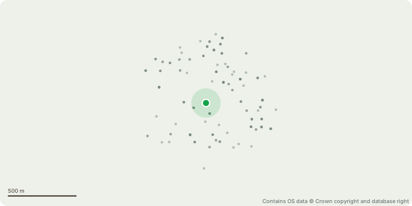
Approximate location - Contains OS data © Crown copyright and database right
Proposal
To vary the S106 Agreement completed on 28th March 2019 attached to planning permission 18/00831/FUL for "Demolition of existing buildings to the centre and rear of the site and existing extensions to the roof, and the construction of a new spine building including glazed link to part retained mews building, an extension from the southwestern facing elevation of the existing locally listed building, a single storey extension to the restaurant, five subterranean levels which provide parking, a swimming pool and servicing space, to create a total of 495 hotel rooms and 207 vehicle parking spaces, the re-cladding of the 1970's extension, provision of enhanced landscaping across the site including 5 coach parking spaces to the front, and the adaption of existing entrance to the hotel." in relation to the proposed removal of Clause 6.10.1 "The Owner covenants with the Council that the stay by any occupier in any part of the Development shall not exceed 90 days in duration." and Clause 6.10.2 "The Owner further covenants with the Council that there shall be no resumption of occupation in the same part of the Development or further occupation in another part of the Development within the following four weeks of each occupier's stay in any of the Phases."
Key dates
- Received 29 Aug 2024
- Validated 29 Aug 2024
- Started 29 Aug 2024
- Decided 3 Feb 2025
Planning history / related applications
No related planning applications have been identified in the current public OGL dataset.
Inside plotEdge
Go beyond the public record
This page is the public OGL record. plotEdge adds the private intelligence layer for this site - open it in the app to unlock:
- Ownership & title Registered owner and title from HM Land Registry.
- Viability & build potential Site scoring and development upside.
- Constraints Flood risk, green belt, conservation areas and designations.
- Approval signal Planning risk and approval-likelihood analysis.
- Comparable applications Decisions on similar nearby sites, side by side.
- Status alerts Get notified the moment this application changes.
Source: public planning application data from Croydon, reused under the Open Government Licence v3.0. View the council source record. Council documents and drawings are not republished on plotEdge.