County Durham
County Durham/DM/26/01529/NMA
Site Of Former Greyhound Track Front Street Merrington Lane Spennymoor DL16 7RS
- Reference
- County Durham/DM/26/01529/NMA
- Authority
- County Durham
- Application type
- Non-material amendment
- Address
- Site Of Former Greyhound Track Front Street Merrington Lane Spennymoor DL16 7RS
- Postcode
- DL16 7RS
- Status
- Pending Decision
- Received
- 12 Jun 2026
- Started
- 12 Jun 2026
- Source council
- County Durham
- Council source record
- View public record
- Public data licence
- Open Government Licence v3.0
- Record updated
- 2 Jul 2026
- SEO index generated
- 24 Jul 2026
Location
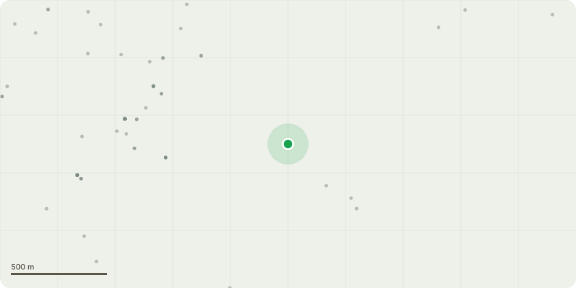
Approximate location
Proposal
Non material amendment to amend the wording of condition 16 of DM/23/01358/FPA and condition 14 of DM/25/00807/VOC from a pre-occupation condition to a compliance condition.Replace:A minimum of 43 dwellings shall be built to a standard which meets the requirements set out in M4(2) of the Building Regulations 2010 Approved Document Part M: Access to and use of building (as amended) or any updated version of replacement document.Prior to the occupation of any dwelling constructed to Buildings Regulations M4(2) standard, a verification report compiled by a suitably competent person demonstrating that the dwelling has been constructed to achieve Buildings Regulations M4(2) standard shall be submitted to and approved in writing by the Local Planning Authority.Reason: To ensure the development complies with the requirements of Policy 15 of the County Durham Plan to meet the needs of older people and people with disabilities.With:All dwellings hereby approved shall include 66% of properties built to a standard which meets the requirements set out in M4(2) of the Building Regulations 2010 Approved Document Part M: Access to and use of building (as amended) or any updated version of replacement document, and 10% of properties designed for older persons. Reason: In the interests of meeting the needs of older people and people with disabilities and to comply with Policy 15 of the County Durham Plan and Part 5 of the National Planning Policy Framework.
Key dates
- Received 12 Jun 2026
- Started 12 Jun 2026
Planning history / related applications
No related planning applications have been identified in the current public OGL dataset.
Inside plotEdge
Go beyond the public record
This page is the public OGL record. plotEdge adds the private intelligence layer for this site - open it in the app to unlock:
- Ownership & title Registered owner and title from HM Land Registry.
- Viability & build potential Site scoring and development upside.
- Constraints Flood risk, green belt, conservation areas and designations.
- Approval signal Planning risk and approval-likelihood analysis.
- Comparable applications Decisions on similar nearby sites, side by side.
- Status alerts Get notified the moment this application changes.
Source: public planning application data from County Durham, reused under the Open Government Licence v3.0. View the council source record. Council documents and drawings are not republished on plotEdge.