County Durham
County Durham/DM/25/03339/TCA
West Farm The Village Hawthorn Seaham SR7 8SG
- Reference
- County Durham/DM/25/03339/TCA
- Authority
- County Durham
- Application type
- Trees in conservation area
- Address
- West Farm The Village Hawthorn Seaham SR7 8SG
- Postcode
- SR7 8SG
- Status
- Decided
- Decision
- Raise No Objection
- Received
- 28 Nov 2025
- Validated
- 28 Nov 2025
- Started
- 28 Nov 2025
- Decided
- 5 Jan 2026
- Source council
- County Durham
- Council source record
- View public record
- Public data licence
- Open Government Licence v3.0
- Record updated
- 2 Jul 2026
- SEO index generated
- 24 Jul 2026
Location
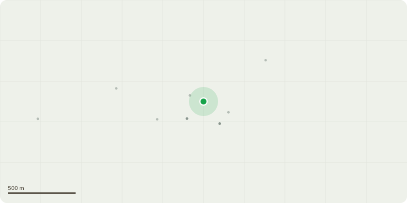
Approximate location
Proposal
T1 - Sycamore located in front garden. This tree has had previous work carried out by us in 2021. The new owner of the property reports that there are a number of branches overhanging the roof blocking light and causing excessive shade to the upstairs bathroom particularly when these branches are in full leaf. The owner also reports debris on the roof, in gutters and moss on roof tiles. Selected branches affecting the light and overhanging that section of the roof are to be removed and/or pruned back to a growth point to give clearance between the crown of T1 and the roof. See attached images showing the branches. T2 - Lime tree located in front garden. The tree has epicormic re growth following work carried out in 2021. Also the owner states that the lower left branch overhangs the neighbours footpath which results in excessive leaves covering the footpath and making slippery in wet weather. I understand the neighbour to be elderly. Required work is a 3 metre crown uplift to remove epicormic growth and removal of two lower branches. All tree works will be carried out in accordance with pruning cuts to BS3998.
Key dates
- Received 28 Nov 2025
- Validated 28 Nov 2025
- Started 28 Nov 2025
- Decided 5 Jan 2026
Planning history / related applications
No related planning applications have been identified in the current public OGL dataset.
Inside plotEdge
Go beyond the public record
This page is the public OGL record. plotEdge adds the private intelligence layer for this site - open it in the app to unlock:
- Ownership & title Registered owner and title from HM Land Registry.
- Viability & build potential Site scoring and development upside.
- Constraints Flood risk, green belt, conservation areas and designations.
- Approval signal Planning risk and approval-likelihood analysis.
- Comparable applications Decisions on similar nearby sites, side by side.
- Status alerts Get notified the moment this application changes.
Source: public planning application data from County Durham, reused under the Open Government Licence v3.0. View the council source record. Council documents and drawings are not republished on plotEdge.