County Durham
County Durham/DM/25/02287/TCA
Greenside 50 West End Wolsingham Bishop Auckland DL13 3AP
- Reference
- County Durham/DM/25/02287/TCA
- Authority
- County Durham
- Application type
- Trees in conservation area
- Address
- Greenside 50 West End Wolsingham Bishop Auckland DL13 3AP
- Postcode
- DL13 3AP
- Status
- Decided
- Decision
- Raise No Objection
- Received
- 18 Aug 2025
- Validated
- 18 Aug 2025
- Started
- 18 Aug 2025
- Decided
- 29 Sept 2025
- Source council
- County Durham
- Council source record
- View public record
- Public data licence
- Open Government Licence v3.0
- Record updated
- 2 Jul 2026
- SEO index generated
- 24 Jul 2026
Location
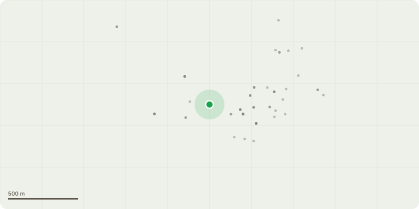
Approximate location
Proposal
T1 - 1 x Large Beech tree to be reduced all round by 2m to create a more compact but natural looking crownG4 - 1 x Conifer hedge to be trimmed removed this seasons growthG1 - 2 x Large Cherry trees forming 1 crown to be reduced by 1.5-2m creating a more compact but natural looking crownT2 - 1 x dying Cherry to be sectionally felled (crown is mostly dead and overhanging neighbouring buildings and base of tree is decayedT3 - 1 x Yew tree to have a light trim G2 - 1 x Holly and 1 x Yew overhanging lawn to be pruned back in line with other trees T4 - 1 x Large Cherry has poor formed and sparse crown, leans over drive and has weak union with included bark - Remove T5 - 1 x Yew on drive, remover snapped storm damaged limbs, carry out aerial inspection and reduce where needed for safetyT6 - 1 x Larch on drive light reduction if possible and sever ivy at baseG3 - group of Yew and conifer trees to be trimmed back around 1m to create a more compact and natural looking crownSECTION 211 NOTICE.
Key dates
- Received 18 Aug 2025
- Validated 18 Aug 2025
- Started 18 Aug 2025
- Decided 29 Sept 2025
Planning history / related applications
No related planning applications have been identified in the current public OGL dataset.
Inside plotEdge
Go beyond the public record
This page is the public OGL record. plotEdge adds the private intelligence layer for this site - open it in the app to unlock:
- Ownership & title Registered owner and title from HM Land Registry.
- Viability & build potential Site scoring and development upside.
- Constraints Flood risk, green belt, conservation areas and designations.
- Approval signal Planning risk and approval-likelihood analysis.
- Comparable applications Decisions on similar nearby sites, side by side.
- Status alerts Get notified the moment this application changes.
Source: public planning application data from County Durham, reused under the Open Government Licence v3.0. View the council source record. Council documents and drawings are not republished on plotEdge.