County Durham
County Durham/DM/25/00712/TCA
Crook Hall Sidegate Durham DH1 5SZ
- Reference
- County Durham/DM/25/00712/TCA
- Authority
- County Durham
- Application type
- Trees in conservation area
- Address
- Crook Hall Sidegate Durham DH1 5SZ
- Postcode
- DH1 5SZ
- Status
- Decided
- Decision
- Raise No Objection
- Received
- 12 Mar 2025
- Validated
- 12 Mar 2025
- Started
- 12 Mar 2025
- Decided
- 14 Apr 2025
- Source council
- County Durham
- Council source record
- View public record
- Public data licence
- Open Government Licence v3.0
- Record updated
- 2 Jul 2026
- SEO index generated
- 24 Jul 2026
Location
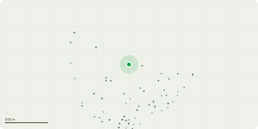
Approximate location
Proposal
1. Ash, Fraxinus excelsior - Fell tree, advanced signs of Ash Dieback (50% canopyloss), at entrance to carpark, as close to ground level as practical.2. Cherry, Prunus avium - Reduce and reshape tree with decay on scaffold limbsand stem, to reduce the weight of the crow. Major infection from Chicken of theWoods bracket fungi. Retain main trunk as feature and potential veteran tree.3. Cherry, Prunus avium - Reduce declining tree encroaching feature Oak,Quercus robur, to a height of approximately 9ft. Canopy is in severe decline over50% loss. Retain main leaders for saprophytic fungi colony in place on tree.4. Laburnum, Laburnum anagyroides - Heavily reduce declining/some dead multistemmed tree adjacent to canopy seating area, to height of approximately 8ft.Retain main multi-stem to cupped hand/throne like shape and as a potentialveteran tree.5. Goat Willow, Salix caprea - Re-pollard tree adjacent to upper carpark. Possibly aveteran tree.
Key dates
- Received 12 Mar 2025
- Validated 12 Mar 2025
- Started 12 Mar 2025
- Decided 14 Apr 2025
Planning history / related applications
No related planning applications have been identified in the current public OGL dataset.
Inside plotEdge
Go beyond the public record
This page is the public OGL record. plotEdge adds the private intelligence layer for this site - open it in the app to unlock:
- Ownership & title Registered owner and title from HM Land Registry.
- Viability & build potential Site scoring and development upside.
- Constraints Flood risk, green belt, conservation areas and designations.
- Approval signal Planning risk and approval-likelihood analysis.
- Comparable applications Decisions on similar nearby sites, side by side.
- Status alerts Get notified the moment this application changes.
Source: public planning application data from County Durham, reused under the Open Government Licence v3.0. View the council source record. Council documents and drawings are not republished on plotEdge.