County Durham
County Durham/DM/25/00682/TPO
Sniperley Hall Sniperley Hall Road Durham DH1 5RA
- Reference
- County Durham/DM/25/00682/TPO
- Authority
- County Durham
- Application type
- Tree preservation order
- Address
- Sniperley Hall Sniperley Hall Road Durham DH1 5RA
- Postcode
- DH1 5RA
- Status
- Decided
- Decision
- Approved
- Received
- 10 Mar 2025
- Validated
- 1 Apr 2025
- Started
- 1 Apr 2025
- Decided
- 27 May 2025
- Source council
- County Durham
- Council source record
- View public record
- Public data licence
- Open Government Licence v3.0
- Record updated
- 2 Jul 2026
- SEO index generated
- 24 Jul 2026
Location
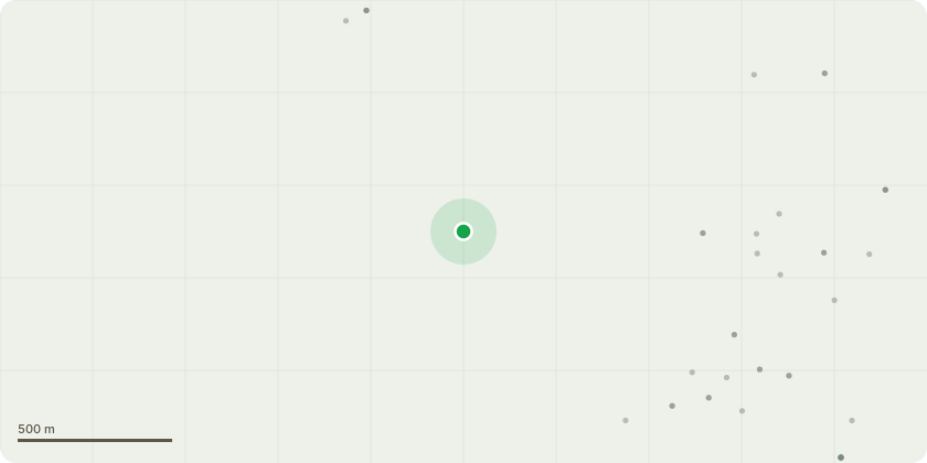
Approximate location
Proposal
T1 Oak - Rotten stem and light can be seen through split timber overhanging the drive - Monolith to approx 4m.T2 Oak - Dying tree with extensive basal decay - Fell as unsuitable to retain given the location.T3 Sycamore - Multiple deep cavities within the lower main stem and overhangs the busy A691 - Monolith to approx 4m.T4 Beech - remove deadwood over the main road.T5 Beech (Noted as T7 on tpo map) - Back of the stem is totally rotten with minimal holding/sound timber - Fell leaving high stump.T6 Beech - Dyeing and stag headed - Monolith to approx 5m.T7 Beech - Totally rotten stem - Monolith to approx 5m.T8 Beech - The tree seems to be in fair condition apart from the dead stag headed top - Remove dead top and monitor annually.T9 Sycamore - Dead - Monolith to approx 5m.T10 Sycamore - Dead - Fell to ground level.T11 Beech - Mostly dead and stag headed - Monolith to approx 5m.T12 Sycamore - Dead - Fell to ground level or monolith, A line will be installed when works commence so that a pull test can be carried out in order to determine whether the tree is stable enough to carry out aerial works.T13 & T14 Beech - Both neighbouring trees are totally dead and overhang stock fencing - Monolith to aprox 7.5m.T15 Sycamore - Dead - Monolith.T16 Yew (Noted as T1 on tpo map) - Prune to clear property by 1.5m.TPO - PN1-318
Key dates
- Received 10 Mar 2025
- Validated 1 Apr 2025
- Started 1 Apr 2025
- Decided 27 May 2025
Planning history / related applications
No related planning applications have been identified in the current public OGL dataset.
Inside plotEdge
Go beyond the public record
This page is the public OGL record. plotEdge adds the private intelligence layer for this site - open it in the app to unlock:
- Ownership & title Registered owner and title from HM Land Registry.
- Viability & build potential Site scoring and development upside.
- Constraints Flood risk, green belt, conservation areas and designations.
- Approval signal Planning risk and approval-likelihood analysis.
- Comparable applications Decisions on similar nearby sites, side by side.
- Status alerts Get notified the moment this application changes.
Source: public planning application data from County Durham, reused under the Open Government Licence v3.0. View the council source record. Council documents and drawings are not republished on plotEdge.