County Durham
County Durham/DM/24/03221/TPO
University Hospital Of North Durham North Road Durham DH1 5TW
- Reference
- County Durham/DM/24/03221/TPO
- Authority
- County Durham
- Application type
- Tree preservation order
- Address
- University Hospital Of North Durham North Road Durham DH1 5TW
- Postcode
- DH1 5TW
- Status
- Decided
- Decision
- Approved
- Received
- 28 Nov 2024
- Validated
- 29 Nov 2024
- Started
- 29 Nov 2024
- Decided
- 24 Jan 2025
- Source council
- County Durham
- Council source record
- View public record
- Public data licence
- Open Government Licence v3.0
- Record updated
- 2 Jul 2026
- SEO index generated
- 24 Jul 2026
Location
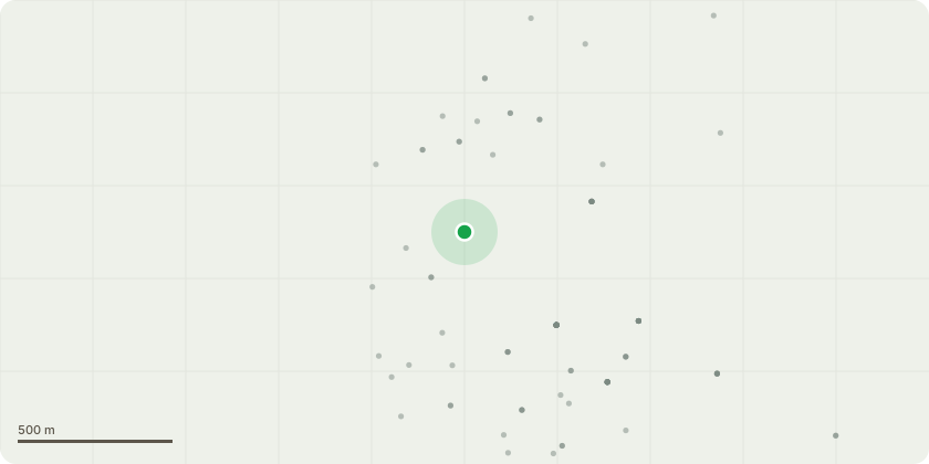
Approximate location
Proposal
59 - Lime - Remove visible deadwood as required, pruning back to sound wood or appropriate branch junctions455 - Oak - Reduce lowest most branches back by 3m to clear car parking area, inspection of main limb required. DCC Tree Officer to be made aware of condition of limb493 - Oak - Remove visible deadwood as required, pruning back to sound wood or appropriate branch junction/sGA - Fire Road (from oxygen storage area to Trust HQ car park) Crown lift/prune back branches overhanging the road, back beyond the retaining wall, up to a height of 5.5m, and fell several small trees leaning over the road that are growing within 1m of the roadB - Beech and Willow - No action requiredGC - (from Fire Road entrance up to the Oxygen Storage Area) Prune back branches on the roadside up to 1.5m and round off tall shrubs within 2.5m of the road/barrier209 - Sycamore - Crown lift to include the pruning of light, pendulous growth in the lower tree crown eg shortening or removal of secondary branches under 50/75mm diameter, not main structural branches over this size. Crown lifting would include mostly epicormic growth, clearing the building (Amended description)
Key dates
- Received 28 Nov 2024
- Validated 29 Nov 2024
- Started 29 Nov 2024
- Decided 24 Jan 2025
Planning history / related applications
No related planning applications have been identified in the current public OGL dataset.
Inside plotEdge
Go beyond the public record
This page is the public OGL record. plotEdge adds the private intelligence layer for this site - open it in the app to unlock:
- Ownership & title Registered owner and title from HM Land Registry.
- Viability & build potential Site scoring and development upside.
- Constraints Flood risk, green belt, conservation areas and designations.
- Approval signal Planning risk and approval-likelihood analysis.
- Comparable applications Decisions on similar nearby sites, side by side.
- Status alerts Get notified the moment this application changes.
Source: public planning application data from County Durham, reused under the Open Government Licence v3.0. View the council source record. Council documents and drawings are not republished on plotEdge.