County Durham
County Durham/DM/24/02049/TPO
St Cuthberts Hospice Park House Road Durham DH1 3QF
- Reference
- County Durham/DM/24/02049/TPO
- Authority
- County Durham
- Application type
- Tree preservation order
- Address
- St Cuthberts Hospice Park House Road Durham DH1 3QF
- Postcode
- DH1 3QF
- Status
- Decided
- Decision
- Approved
- Received
- 26 Jul 2024
- Validated
- 29 Jul 2024
- Started
- 29 Jul 2024
- Decided
- 11 Oct 2024
- Source council
- County Durham
- Council source record
- View public record
- Public data licence
- Open Government Licence v3.0
- Record updated
- 2 Jul 2026
- SEO index generated
- 24 Jul 2026
Location
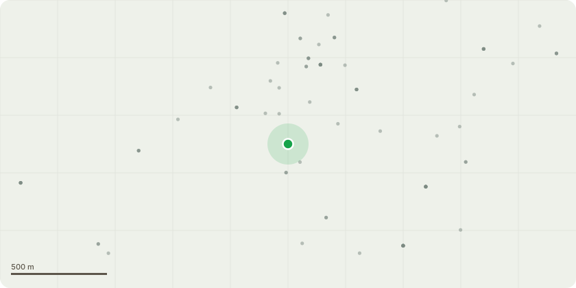
Approximate location
Proposal
Works to various trees as described in the Tree Report submitted by Olivers Trees dated 19th April 2023 with the following amendmentsT56 Birch Reduce end weight over field by 2.5m only, central stem does not require reduction, decayed wood can be removed. T138 Sycamore remove all deadwood throughout canopy, this will reduce the tree by approximately 30 percent, monitor tree through future inspections. T161 and 162 Ash both trees outside public access and showing little signs of ADB (early class 1) given their location, no work is required. T168 Conifer sever ivy at base monitor tree through future surveys. T170 Horse Chestnut retain, tree within woodland public access limited. The tree is acceptable to be retained in its current form. No work required. T173 Beech retain, tree within woodland public access limited. The tree is acceptable to be retained in its current form. No work required.(Amended Description 09 October 2024)
Key dates
- Received 26 Jul 2024
- Validated 29 Jul 2024
- Started 29 Jul 2024
- Decided 11 Oct 2024
Planning history / related applications
No related planning applications have been identified in the current public OGL dataset.
Inside plotEdge
Go beyond the public record
This page is the public OGL record. plotEdge adds the private intelligence layer for this site - open it in the app to unlock:
- Ownership & title Registered owner and title from HM Land Registry.
- Viability & build potential Site scoring and development upside.
- Constraints Flood risk, green belt, conservation areas and designations.
- Approval signal Planning risk and approval-likelihood analysis.
- Comparable applications Decisions on similar nearby sites, side by side.
- Status alerts Get notified the moment this application changes.
Source: public planning application data from County Durham, reused under the Open Government Licence v3.0. View the council source record. Council documents and drawings are not republished on plotEdge.