Cotswold
Cotswold/26/00170/TPO
15 Roberts Close Stratton Cirencester Gloucestershire GL7 2RP
- Reference
- Cotswold/26/00170/TPO
- Authority
- Cotswold
- Application type
- Tree preservation order
- Address
- 15 Roberts Close Stratton Cirencester Gloucestershire GL7 2RP
- Postcode
- GL7 2RP
- Status
- Decided
- Decision
- Application Permit
- Received
- 19 Jan 2026
- Validated
- 19 Jan 2026
- Started
- 19 Jan 2026
- Decided
- 18 Feb 2026
- Source council
- Cotswold
- Council source record
- View public record
- Public data licence
- Open Government Licence v3.0
- Record updated
- 18 Jul 2026
- SEO index generated
- 24 Jul 2026
Location
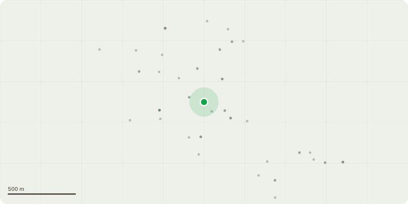
Approximate location
Proposal
T1- Horse Chestnut (Aesculus hippocastanum) This Horse Chestnut is in an advanced state of decline, with significant deadwood throughout the crown and clear evidence of internal decay. The structural integrity of the tree has been severely compromised, increasing the likelihood of branch or whole-tree failure. Proposed Works - The tree will be removed through controlled sectional dismantling. A MEWP will be used where appropriate to ensure safe access and minimise operator exposure. Rigging techniques will be employed to lower branches safely and prevent damage to surrounding structures. All work will be undertaken by qualified arborists using industry-approved climbing and access methods. T2- British Black Pine (Pinus nigra) Proposed WorksSelective pruning will be carried out to remove deadwood, defective branches, and any limbs showing signs of weakness or excessive end-weight. Reduction cuts will be made back to suitable growth points to maintain the tree?s natural form while improving structural balance
Key dates
- Received 19 Jan 2026
- Validated 19 Jan 2026
- Started 19 Jan 2026
- Decided 18 Feb 2026
Planning history / related applications
No related planning applications have been identified in the current public OGL dataset.
Inside plotEdge
Go beyond the public record
This page is the public OGL record. plotEdge adds the private intelligence layer for this site - open it in the app to unlock:
- Ownership & title Registered owner and title from HM Land Registry.
- Viability & build potential Site scoring and development upside.
- Constraints Flood risk, green belt, conservation areas and designations.
- Approval signal Planning risk and approval-likelihood analysis.
- Comparable applications Decisions on similar nearby sites, side by side.
- Status alerts Get notified the moment this application changes.
Source: public planning application data from Cotswold, reused under the Open Government Licence v3.0. View the council source record. Council documents and drawings are not republished on plotEdge.