Cotswold
Cotswold/26/00022/TCONR
143 Gloucester Street Cirencester Gloucestershire GL7 2DP
- Reference
- Cotswold/26/00022/TCONR
- Authority
- Cotswold
- Application type
- TCONR
- Address
- 143 Gloucester Street Cirencester Gloucestershire GL7 2DP
- Postcode
- GL7 2DP
- Status
- Decided
- Decision
- No objection
- Received
- 5 Jan 2026
- Validated
- 5 Jan 2026
- Started
- 5 Jan 2026
- Decided
- 4 Feb 2026
- Source council
- Cotswold
- Council source record
- View public record
- Public data licence
- Open Government Licence v3.0
- Record updated
- 18 Jul 2026
- SEO index generated
- 24 Jul 2026
Location
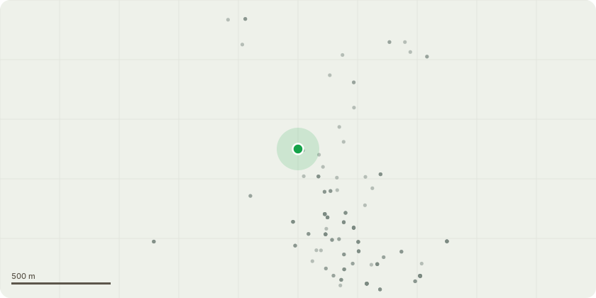
Approximate location
Proposal
fell apple tree The apple tree has grown to a size and form that now causes ongoing practical and amenity issues. Several branches interfere with overhead telegraph wires, creating a potential maintenance and safety concern and requiring repeated intervention to prevent contact.The tree is also affected by a fungal disease, evidenced by fruit that is consistently blackened internally and therefore unusable. Large quantities of fallen apples regularly land on the roof of my garden room and into a neighbouring allotment, causing damage, mess, and an ongoing nuisance that requires frequent clearing.In addition, the apple tree currently overshadows two cherry trees and a greengage tree growing beneath it. These trees are in good health but are significantly constrained by lack of light and space. Removal of the apple tree would allow these younger fruit trees to receive adequate sunlight and airflow, giving them a far better chance to flourish.In addition to felling the tree, the stump would be removed and the wood from the tree would be either chipped (and used on our allotment) or used for firewood.
Key dates
- Received 5 Jan 2026
- Validated 5 Jan 2026
- Started 5 Jan 2026
- Decided 4 Feb 2026
Planning history / related applications
No related planning applications have been identified in the current public OGL dataset.
Inside plotEdge
Go beyond the public record
This page is the public OGL record. plotEdge adds the private intelligence layer for this site - open it in the app to unlock:
- Ownership & title Registered owner and title from HM Land Registry.
- Viability & build potential Site scoring and development upside.
- Constraints Flood risk, green belt, conservation areas and designations.
- Approval signal Planning risk and approval-likelihood analysis.
- Comparable applications Decisions on similar nearby sites, side by side.
- Status alerts Get notified the moment this application changes.
Source: public planning application data from Cotswold, reused under the Open Government Licence v3.0. View the council source record. Council documents and drawings are not republished on plotEdge.