Cotswold
Cotswold/25/03681/TCONR
New Inn Hotel Market Place Lechlade Gloucestershire GL7 3AB
- Reference
- Cotswold/25/03681/TCONR
- Authority
- Cotswold
- Application type
- TCONR
- Address
- New Inn Hotel Market Place Lechlade Gloucestershire GL7 3AB
- Postcode
- GL7 3AB
- Status
- Decided
- Decision
- No objection
- Received
- 24 Nov 2025
- Validated
- 24 Nov 2025
- Started
- 24 Nov 2025
- Decided
- 28 Jan 2026
- Source council
- Cotswold
- Council source record
- View public record
- Public data licence
- Open Government Licence v3.0
- Record updated
- 18 Jul 2026
- SEO index generated
- 24 Jul 2026
Location
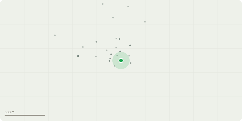
Approximate location
Proposal
Fell 1 Willow pollard & fell 1 Weeping WillowWe have taken advice from Arborreal who are renowned and trusted Tree surgeons in the Cotswolds area and see no issue, but asked us to still submit this before carrying out the work.*Tree 1) At the end of the car park, it is the tree on the right hand side by the log store and shed that it overgrown and hangs over our lawn and also into Thames Street.*Tree 2) Is on the River Bank in the far right corner. The neighbour has requested we take the tree down to stump level as it causes inconvenience to them and is significantly overgrown. We have been advised that the Stump and some of the Tree Trunk to remain because the river is eroding away at our bank.Both of the above are considered to be tidying up the New Inn lawn, which has become significantly overgrown having not been touched or maintained for over 15 years. They have also both been done at the request of the neighbours, who have said it is our responsibility to carry out and pay for the work. We have asked the Neighbours to contribute as it will be mutually beneficial however they have declined,Having thought about it, we feel it will be of benefit to our business as well to have a more presented lawn as opposed to overgrown and so have agreed to carry out the work at our entire cost.
Key dates
- Received 24 Nov 2025
- Validated 24 Nov 2025
- Started 24 Nov 2025
- Decided 28 Jan 2026
Planning history / related applications
No related planning applications have been identified in the current public OGL dataset.
Inside plotEdge
Go beyond the public record
This page is the public OGL record. plotEdge adds the private intelligence layer for this site - open it in the app to unlock:
- Ownership & title Registered owner and title from HM Land Registry.
- Viability & build potential Site scoring and development upside.
- Constraints Flood risk, green belt, conservation areas and designations.
- Approval signal Planning risk and approval-likelihood analysis.
- Comparable applications Decisions on similar nearby sites, side by side.
- Status alerts Get notified the moment this application changes.
Source: public planning application data from Cotswold, reused under the Open Government Licence v3.0. View the council source record. Council documents and drawings are not republished on plotEdge.