Cotswold
Cotswold/25/00870/TPO
Chesterton Farm Cranhams Lane Cirencester Gloucestershire GL7 6JP
- Reference
- Cotswold/25/00870/TPO
- Authority
- Cotswold
- Application type
- Tree preservation order
- Address
- Chesterton Farm Cranhams Lane Cirencester Gloucestershire GL7 6JP
- Postcode
- GL7 6JP
- Status
- Decided
- Decision
- Application Permit
- Received
- 18 Mar 2025
- Validated
- 18 Mar 2025
- Started
- 18 Mar 2025
- Decided
- 23 Apr 2025
- Source council
- Cotswold
- Council source record
- View public record
- Public data licence
- Open Government Licence v3.0
- Record updated
- 18 Jul 2026
- SEO index generated
- 24 Jul 2026
Location
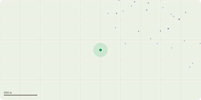
Approximate location
Proposal
Partial removal totaling 6 meters wide of a mixed species woodland which is protected under TPO 14/00010 order shown within Plan TPO 14/00010 as W13. This removal is required to facilitate the installation of flood mitigation measures and the section of removal will total no more than 20 small trees. The section of woodland proposed for removal cannot be retained as trenching within the RPA is required for instillation of the underground pipework and as the outfall pond is also located south of the woodland cannot be accessed from any other directions due to topographical constraints.The trees to be removed are a mix of young elm (Ulmus sp), ash (Fraxinus sp), beech (Fagus sp), hazel (Corylus sp), pine (Pinus sp), sycamore (Acer pseudoplatanus) and lime (tilia sp). The minimum Stem Diameter of a tree within the proposed removals at 1.5m from ground level are 75mm and a maximum of 200mm.It is proposed to replace the lost trees to the south of the outfall pond to reconnect the habitat corridor for amenity and habitat purposes. It is proposed to replant with a mix of the above mentioned species in a like for like fashion. The replanting size is proposed to be bare root whips with appropriate plant protection until establishment.
Key dates
- Received 18 Mar 2025
- Validated 18 Mar 2025
- Started 18 Mar 2025
- Decided 23 Apr 2025
Planning history / related applications
No related planning applications have been identified in the current public OGL dataset.
Inside plotEdge
Go beyond the public record
This page is the public OGL record. plotEdge adds the private intelligence layer for this site - open it in the app to unlock:
- Ownership & title Registered owner and title from HM Land Registry.
- Viability & build potential Site scoring and development upside.
- Constraints Flood risk, green belt, conservation areas and designations.
- Approval signal Planning risk and approval-likelihood analysis.
- Comparable applications Decisions on similar nearby sites, side by side.
- Status alerts Get notified the moment this application changes.
Source: public planning application data from Cotswold, reused under the Open Government Licence v3.0. View the council source record. Council documents and drawings are not republished on plotEdge.