Cotswold
Cotswold/25/00478/TPO
Garden House Northfield Road Tetbury Gloucestershire GL8 8HD
- Reference
- Cotswold/25/00478/TPO
- Authority
- Cotswold
- Application type
- Tree preservation order
- Address
- Garden House Northfield Road Tetbury Gloucestershire GL8 8HD
- Postcode
- GL8 8HD
- Status
- Decided
- Decision
- Application Permit
- Received
- 12 Feb 2025
- Validated
- 12 Feb 2025
- Started
- 12 Feb 2025
- Decided
- 9 Apr 2025
- Source council
- Cotswold
- Council source record
- View public record
- Public data licence
- Open Government Licence v3.0
- Record updated
- 18 Jul 2026
- SEO index generated
- 24 Jul 2026
Location
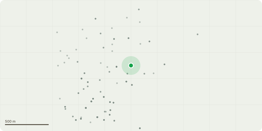
Approximate location
Proposal
Rear GardenT1 Sycamore Re-pollard to 15 feet to give neighbours more light (as requested) and reduce risk of branches falling onto their property as there is some disease in the treeT2 Bird Cherry Crown lift by 3m and thin lower branches by 20% to allow more light to enterT3 Larch Remove - unhealthy as very tall and thin as no canopy space to grow inT4 Horse chestnut Remove to favour Fir treeT5 Sycamore Remove to favour Fir treeT6 Elm Remove to favour Silver BirchT7 Silver Birch Remove - unhealthy, too tall and thin because of lack of canopy spaceT8 Pine Tree Directional prune lower branches to ensure stability of the treeT9 Small Oak Remove to favour hollyT10 Ash Remove to give canopy space to larger Sycamore T11 Sycamore Remove to favour Wild CherryT12-15 Mixed deciduous Young trees which have diedT16 Walnut Remove to favour Wild Cherry or remove Wild Cherry to favour Walnut?T17 Beech Remove to favour Fir TreeT18 Sycamore Crown lift by 3m to allow some light through to the floorT19-23 Apple Trees Annual prune to retain health of the tree for fruitingT24-41 Hawthorn and Goat Willows Reduce height to 2.5m as has previously been done and allow to re-sprout - the tops are being blown out due to their current height on thin branchesFront Garden T42 Holly Remove to ensure health of Handkerchief TreeT43 Maple? Reduce crown height by 2m to keep away from the electricity wire
Key dates
- Received 12 Feb 2025
- Validated 12 Feb 2025
- Started 12 Feb 2025
- Decided 9 Apr 2025
Planning history / related applications
No related planning applications have been identified in the current public OGL dataset.
Inside plotEdge
Go beyond the public record
This page is the public OGL record. plotEdge adds the private intelligence layer for this site - open it in the app to unlock:
- Ownership & title Registered owner and title from HM Land Registry.
- Viability & build potential Site scoring and development upside.
- Constraints Flood risk, green belt, conservation areas and designations.
- Approval signal Planning risk and approval-likelihood analysis.
- Comparable applications Decisions on similar nearby sites, side by side.
- Status alerts Get notified the moment this application changes.
Source: public planning application data from Cotswold, reused under the Open Government Licence v3.0. View the council source record. Council documents and drawings are not republished on plotEdge.