City of London
City of London/25/00223/FULEIA
63 St Mary Axe London EC3A 8AA
- Reference
- City of London/25/00223/FULEIA
- Authority
- City of London
- Application type
- FULEIA
- Address
- 63 St Mary Axe London EC3A 8AA
- Postcode
- EC3A 8AA
- Status
- Decided
- Decision
- Approved
- Received
- 11 Feb 2025
- Validated
- 3 Mar 2025
- Started
- 3 Mar 2025
- Decided
- 19 Dec 2025
- Source council
- City of London
- Council source record
- View public record
- Public data licence
- Open Government Licence v3.0
- Record updated
- 18 Jul 2026
- SEO index generated
- 24 Jul 2026
Location
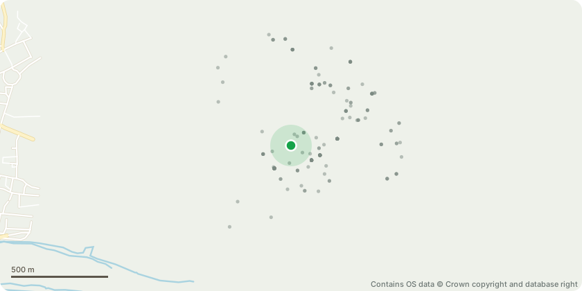
Approximate location - Contains OS data © Crown copyright and database right
Proposal
Demolition of the existing buildings (with part retention of the existing basement and foundations) and the construction of a new building of ground plus 45 storeys (with basements) for use as offices (Class E (g)), flexible commercial and cultural uses (Use Classes E (a/b/c), F1, F2), multi-functional spaces (sui generis) and a public lavatory (sui generis); the creation of a series of external walkways and terraces at the lower levels; public realm and highways works; the excavation and re-landscaping of the former churchyard of St Augustine Papey; the excavation and provision of visual access to the remains of the Roman Wall; ancillary plant, servicing and parking and all associated works with the proposed development. This application is accompanied by an Environmental Statement.
Key dates
- Received 11 Feb 2025
- Validated 3 Mar 2025
- Started 3 Mar 2025
- Decided 19 Dec 2025
Planning history / related applications
No related planning applications have been identified in the current public OGL dataset.
Inside plotEdge
Go beyond the public record
This page is the public OGL record. plotEdge adds the private intelligence layer for this site - open it in the app to unlock:
- Ownership & title Registered owner and title from HM Land Registry.
- Viability & build potential Site scoring and development upside.
- Constraints Flood risk, green belt, conservation areas and designations.
- Approval signal Planning risk and approval-likelihood analysis.
- Comparable applications Decisions on similar nearby sites, side by side.
- Status alerts Get notified the moment this application changes.
Source: public planning application data from City of London, reused under the Open Government Licence v3.0. View the council source record. Council documents and drawings are not republished on plotEdge.