Cheshire West and Chester
Cheshire West and Chester/26/02159/TPO
99 Whitchurch Road Christleton Chester CH3 5QD
- Reference
- Cheshire West and Chester/26/02159/TPO
- Authority
- Cheshire West and Chester
- Application type
- Tree preservation order
- Address
- 99 Whitchurch Road Christleton Chester CH3 5QD
- Postcode
- CH3 5QD
- Status
- Awaiting decision
- Received
- 13 Jul 2026
- Started
- 13 Jul 2026
- Source council
- Cheshire West and Chester
- Council source record
- View public record
- Public data licence
- Open Government Licence v3.0
- Record updated
- 30 Jul 2026
- SEO index generated
- 31 Jul 2026
Location
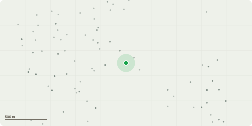
Approximate location
Proposal
Mature Walnut Tree (T1) - Selectively reduce the end weight of long, extended and heavily weighted lateral branches throughout the lower one-third to two-thirds of the crown, on all sides of the tree where necessary. Branches will be shortened by approximately 1-2 metres, with all pruning cuts made back to suitable secondary growth points. Limbs that are not excessively extended or heavily weighted will be retained. The tree appears to be in good overall health; however, two boughs have failed on separate occasions. Several remaining lower limbs are long and leggy, with considerable weight concentrated towards their outer ends. The client is concerned about the possibility of further branch failure. The proposed work is intended to reduce leverage and end weight on the affected lower limbs while retaining the trees natural form, height and healthy upper canopy. A full crown reduction is not considered necessary, as the concern relates specifically to the extended and heavily weighted lower portions of the crown.
Key dates
- Received 13 Jul 2026
- Started 13 Jul 2026
Planning history / related applications
No related planning applications have been identified in the current public OGL dataset.
Inside plotEdge
Go beyond the public record
This page is the public OGL record. plotEdge adds the private intelligence layer for this site - open it in the app to unlock:
- Ownership & title Registered owner and title from HM Land Registry.
- Viability & build potential Site scoring and development upside.
- Constraints Flood risk, green belt, conservation areas and designations.
- Approval signal Planning risk and approval-likelihood analysis.
- Comparable applications Decisions on similar nearby sites, side by side.
- Status alerts Get notified the moment this application changes.
Source: public planning application data from Cheshire West and Chester, reused under the Open Government Licence v3.0. View the council source record. Council documents and drawings are not republished on plotEdge.