Cheshire West and Chester
Cheshire West and Chester/25/02156/TPO
Bottom Lodge Church Road Ashton Hayes Chester CH3 8AB
- Reference
- Cheshire West and Chester/25/02156/TPO
- Authority
- Cheshire West and Chester
- Application type
- Tree preservation order
- Address
- Bottom Lodge Church Road Ashton Hayes Chester CH3 8AB
- Postcode
- CH3 8AB
- Status
- Approved
- Decision
- Approval
- Received
- 14 Jul 2025
- Validated
- 14 Jul 2025
- Started
- 14 Jul 2025
- Decided
- 4 Sept 2025
- Source council
- Cheshire West and Chester
- Council source record
- View public record
- Public data licence
- Open Government Licence v3.0
- Record updated
- 18 Jul 2026
- SEO index generated
- 24 Jul 2026
Location
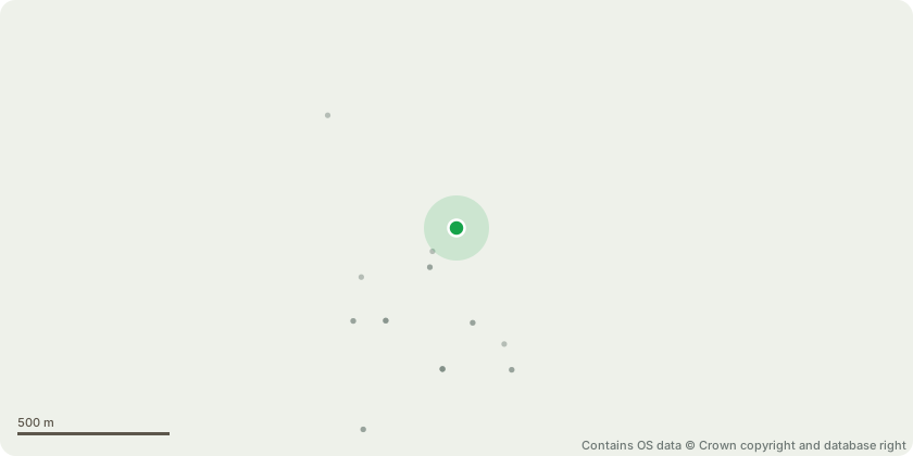
Approximate location - Contains OS data © Crown copyright and database right
Proposal
T1 (Oak) - undertake pollarding to reduce the tree to an approximate height of 10 metres, pruning back to suitable inner sub-lateral growth points in accordance with BS3998:2010 Tree Work recommendationsJustification:The proposed works have been discussed and agreed in principle with the Council?s Tree Officer as appropriate arboricultural management. The tree currently has a significantly unbalanced crown due to the recent failure of a primary scaffold limb, leaving only one substantial scaffold branch remaining. The residual crown is subject to excessive asymmetric loading and increased wind exposure, resulting in an elevated risk of further structural failure.Pollarding to the specified height will mitigate this risk by removing the major sources of potential failure and encouraging the development of a balanced, sustainable crown structure. This intervention will preserve the tree?s biodiversity value and ecological contribution while ensuring the safety of users of the adjacent domestic garden area.There will be no significant loss of visual amenity, given the extensive surrounding tree cover which maintains the local landscape character.
Key dates
- Received 14 Jul 2025
- Validated 14 Jul 2025
- Started 14 Jul 2025
- Decided 4 Sept 2025
Planning history / related applications
No related planning applications have been identified in the current public OGL dataset.
Inside plotEdge
Go beyond the public record
This page is the public OGL record. plotEdge adds the private intelligence layer for this site - open it in the app to unlock:
- Ownership & title Registered owner and title from HM Land Registry.
- Viability & build potential Site scoring and development upside.
- Constraints Flood risk, green belt, conservation areas and designations.
- Approval signal Planning risk and approval-likelihood analysis.
- Comparable applications Decisions on similar nearby sites, side by side.
- Status alerts Get notified the moment this application changes.
Source: public planning application data from Cheshire West and Chester, reused under the Open Government Licence v3.0. View the council source record. Council documents and drawings are not republished on plotEdge.