Cheshire West and Chester
Cheshire West and Chester/25/01862/TPO
36 Abbots Park Chester CH1 4AN
- Reference
- Cheshire West and Chester/25/01862/TPO
- Authority
- Cheshire West and Chester
- Application type
- Tree preservation order
- Address
- 36 Abbots Park Chester CH1 4AN
- Postcode
- CH1 4AN
- Status
- Approved
- Decision
- Approval
- Received
- 16 Jun 2025
- Validated
- 16 Jun 2025
- Started
- 16 Jun 2025
- Decided
- 7 Aug 2025
- Source council
- Cheshire West and Chester
- Council source record
- View public record
- Public data licence
- Open Government Licence v3.0
- Record updated
- 18 Jul 2026
- SEO index generated
- 24 Jul 2026
Location
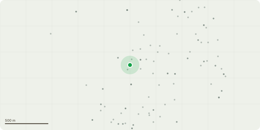
Approximate location
Proposal
T1 Beech - Damaged at base with heavy lean - Remove main leader at approximately 5m and formative prune remainder to reduce the risk of major failures while retaining a more appropriate size. T2 Horse Chestnut - Large oppressive tree from neighbours bungalow side. Poor form from historic pollard and regrowth with tight unions (Photo AKD 37499 P3). Numerous historic wounds on mainstem from excessive branch removal. Imbalanced large lateral on south side (Photo AKD 37499 P2). Imbalanced exposed upper crown relative to lower crowns of surrounding trees. Any mitigation pruning significant enough to reduce risks would compromise the aesthetics of the crown and generate further wound problems. The abundant surrounding younger trees, probably postdating the TPO, now provide a better treescape without the structural issues (Photo AKD 37499 P4) - Fell and replace with more suitable Crataegus monogyna, Crataegus prunifolia or similar. For long term retention.
Key dates
- Received 16 Jun 2025
- Validated 16 Jun 2025
- Started 16 Jun 2025
- Decided 7 Aug 2025
Planning history / related applications
No related planning applications have been identified in the current public OGL dataset.
Inside plotEdge
Go beyond the public record
This page is the public OGL record. plotEdge adds the private intelligence layer for this site - open it in the app to unlock:
- Ownership & title Registered owner and title from HM Land Registry.
- Viability & build potential Site scoring and development upside.
- Constraints Flood risk, green belt, conservation areas and designations.
- Approval signal Planning risk and approval-likelihood analysis.
- Comparable applications Decisions on similar nearby sites, side by side.
- Status alerts Get notified the moment this application changes.
Source: public planning application data from Cheshire West and Chester, reused under the Open Government Licence v3.0. View the council source record. Council documents and drawings are not republished on plotEdge.