Cheshire West and Chester
Cheshire West and Chester/25/01732/TPO
Trafford Lodge East Warrington Road Mickle Trafford Chester CH2 4EA
- Reference
- Cheshire West and Chester/25/01732/TPO
- Authority
- Cheshire West and Chester
- Application type
- Tree preservation order
- Address
- Trafford Lodge East Warrington Road Mickle Trafford Chester CH2 4EA
- Postcode
- CH2 4EA
- Status
- Approved
- Decision
- Approval
- Received
- 4 Jun 2025
- Validated
- 4 Jun 2025
- Started
- 4 Jun 2025
- Decided
- 15 Jul 2025
- Source council
- Cheshire West and Chester
- Council source record
- View public record
- Public data licence
- Open Government Licence v3.0
- Record updated
- 18 Jul 2026
- SEO index generated
- 24 Jul 2026
Location
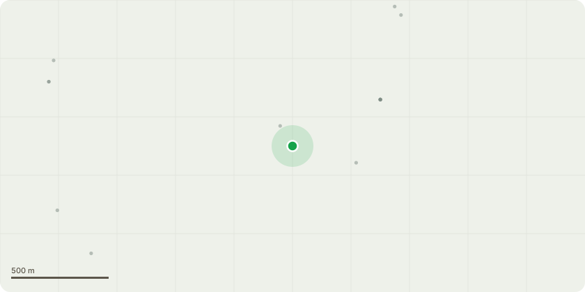
Approximate location
Proposal
T1 (Lime) - Fell to ground level. The applicant has lived in close proximity to the T1 for many years, with the tree situated approximately 2.5m from their residential dwelling. Recently, the tree has begun shedding limbs, raising significant concerns regarding its health and safety. This situation has caused the applicant considerable distress due to the trees immediate proximity to their home. Furthermore, the applicant has obtained consent from their neighbour to proceed with the removal of the tree. This will allow the creation of a more acceptable easement, improving access to their property and enhancing their outdoor amenity space. Given that the tree is part of a small, effectively closed canopy copse, its amenity value is largely localised. Therefore, its removal is not expected to have any material adverse impact on the landscape character and setting of the wider area. On this basis, the removal of T1 (Lime) should be considered acceptable in planning terms.
Key dates
- Received 4 Jun 2025
- Validated 4 Jun 2025
- Started 4 Jun 2025
- Decided 15 Jul 2025
Planning history / related applications
No related planning applications have been identified in the current public OGL dataset.
Inside plotEdge
Go beyond the public record
This page is the public OGL record. plotEdge adds the private intelligence layer for this site - open it in the app to unlock:
- Ownership & title Registered owner and title from HM Land Registry.
- Viability & build potential Site scoring and development upside.
- Constraints Flood risk, green belt, conservation areas and designations.
- Approval signal Planning risk and approval-likelihood analysis.
- Comparable applications Decisions on similar nearby sites, side by side.
- Status alerts Get notified the moment this application changes.
Source: public planning application data from Cheshire West and Chester, reused under the Open Government Licence v3.0. View the council source record. Council documents and drawings are not republished on plotEdge.