Cherwell
Cherwell/26/01763/TCA
Heyford House 13 Church Lane Lower Heyford Oxfordshire OX25 5NZ
- Reference
- Cherwell/26/01763/TCA
- Authority
- Cherwell
- Application type
- Works To Trees In Conservation Area
- Address
- Heyford House 13 Church Lane Lower Heyford Oxfordshire OX25 5NZ
- Postcode
- OX25 5NZ
- Status
- Decision Issued Date
- Decision
- Decision Issued Date
- Received
- 17 Apr 2015
- Started
- 17 Apr 2015
- Source council
- Cherwell
- Council source record
- View public record
- Public data licence
- Open Government Licence v3.0
- Record updated
- 18 Jul 2026
- SEO index generated
- 24 Jul 2026
Location
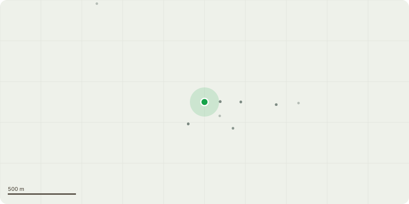
Approximate location
Proposal
1 & 2 Acacia - remove - producing more dead wood every year and overhang neighbouring property so they either have to cover or park car elsewhere - dropping dead wood - dangerous 3 & 4 Yew trees - remove - too close to 15 Church Lane - block light - more Yews in close vicinity so no loss of feel to shrubbery area 5 White Beam - Pollard to about 3 metres - made up of multiple stems and one recently split off and fell potentially dangerously and any others doing same could impact neighbours and grade 2 listed wall 6 remove dead fruit trees affected by honey fungus
Key dates
- Received 17 Apr 2015
- Started 17 Apr 2015
Planning history / related applications
No related planning applications have been identified in the current public OGL dataset.
Inside plotEdge
Go beyond the public record
This page is the public OGL record. plotEdge adds the private intelligence layer for this site - open it in the app to unlock:
- Ownership & title Registered owner and title from HM Land Registry.
- Viability & build potential Site scoring and development upside.
- Constraints Flood risk, green belt, conservation areas and designations.
- Approval signal Planning risk and approval-likelihood analysis.
- Comparable applications Decisions on similar nearby sites, side by side.
- Status alerts Get notified the moment this application changes.
Source: public planning application data from Cherwell, reused under the Open Government Licence v3.0. View the council source record. Council documents and drawings are not republished on plotEdge.