Cherwell
Cherwell/26/00720/OUT
Land at Frieze Farm Frieze Way Gosford OX2 8JX
- Reference
- Cherwell/26/00720/OUT
- Authority
- Cherwell
- Application type
- Outline Application
- Address
- Land at Frieze Farm Frieze Way Gosford OX2 8JX
- Postcode
- OX2 8JX
- Status
- Decision Issued Date
- Decision
- Decision Issued Date
- Source council
- Cherwell
- Council source record
- View public record
- Public data licence
- Open Government Licence v3.0
- Record updated
- 12 Jul 2026
- SEO index generated
- 24 Jul 2026
Location
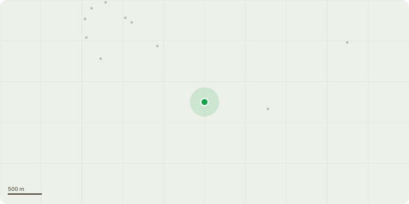
Approximate location
Proposal
Outline Planning Permission all matters reserved except access for multi phased (severable) Innovation District development accommodating up to 290,500sqm of gross external floorspace comprising: Up to 170,000sqm gross external area of Research & Development Floorspace (Use Class E(g)ii); up to 36,000sqm gross external area of Higher Education Floorspace including Visitors Centre and Innovation Hub (Use Class F1(a)); up to 34,000sqm gross external area of Data Centre Floorspace (Use Class B8); up to 7,500sqm gross external area Energy Centre Floorspace (Use Class Sui Generis); up to 3,300sqm residential floorspace [up to 45 dwellings] (Use Class C3); up to 8,200sqm gross external area of Hotel floorspace [180 Bedroom] (Use Class C1); up to 3,300sqm gross external area of Further Education College (Use Class F1(a)); up to 950sqm gross external area of Commercial Floorspace (Use Class E(a) & (b)); up to 900sqm gross external area of Fire Station Floorspace (Use Class Sui Generis); up to 450sqm gross external area of Community Floorspace (Use Class F2); and up to 47,000sqm gross external area of car parking station for up to 1700 spaces with associated vehicle charging infrastructure and cycle parking (Use Sui Generis). Development to include ancillary offices, storage and servicing within the related use and maximum floorspace. Highway works, including: a new signalised T-junction from the A4260 Frieze Way to the eastern development parcel; a left-in, left-out arrangement on the western side of the A4260 Frieze Way for accessing the western development parcel; Fire Station access on to Frieze Way; upgraded existing priority junction on the A44 Woodstock Road to a Copenhagen crossing; a Pedestrian and Cycle Bridge Over the A34 and Train Line to Oxford Parkway; on-site walking and cycling infrastructure including diversion of Public Right of Way; removal of 2no. existing field access; surface car parking for up to 100 spaces with associated vehicle charging infrastructure and cycle parking. Landscape and public realm, including country park, areas for sustainable urban drainage systems including ponds, biodiversity areas and earthworks including landform re-profiling and formation of sculptural mounds. Utilities and infrastructure including sub stations; together with enabling, site clearance and associated works.
Planning history / related applications
No related planning applications have been identified in the current public OGL dataset.
Inside plotEdge
Go beyond the public record
This page is the public OGL record. plotEdge adds the private intelligence layer for this site - open it in the app to unlock:
- Ownership & title Registered owner and title from HM Land Registry.
- Viability & build potential Site scoring and development upside.
- Constraints Flood risk, green belt, conservation areas and designations.
- Approval signal Planning risk and approval-likelihood analysis.
- Comparable applications Decisions on similar nearby sites, side by side.
- Status alerts Get notified the moment this application changes.
Source: public planning application data from Cherwell, reused under the Open Government Licence v3.0. View the council source record. Council documents and drawings are not republished on plotEdge.