Cherwell
Cherwell/25/02010/TCA
35 Hollybush Road Hook Norton OX15 5LY
- Reference
- Cherwell/25/02010/TCA
- Authority
- Cherwell
- Application type
- Works To Trees In Conservation Area
- Address
- 35 Hollybush Road Hook Norton OX15 5LY
- Postcode
- OX15 5LY
- Status
- Application Permitted
- Decision
- Level
- Received
- 12 Apr 2007
- Started
- 12 Apr 2007
- Decided
- 8 Sept 2025
- Source council
- Cherwell
- Council source record
- View public record
- Public data licence
- Open Government Licence v3.0
- Record updated
- 12 Jul 2026
- SEO index generated
- 24 Jul 2026
Location
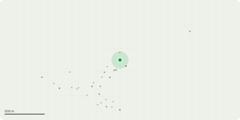
Approximate location
Proposal
1 x Bay - There is one multi-stemmed bay shrub/tree that is located on the edge of our property, alongside the footpath which runs along the side of our house. This small strip of land along the side of our house forms part of our property and has been maintained by us since we bought the house 28 years ago. We planted the bay in 2008 but it is now too big and we are worried that it will start to affect the foundations of the property. We want to remove it completely in the Autumn. Our house was built in the 1980s and was not originally part of the conservation area. We do not know why part of a modern estate was included in the conservation area. Indeed, the bay shrub/tree is only 1 metre from the boundary line of the conservation area. The tree is not a native species. It has no amenity value. The largest stem is less than 6 cm in diameter at a height of 1.5 metres. We are unable to plant another tree as our property is too small. However, as I have been planning on removing the bay for a while, I have planted mixed native hedging (which is pollinator-friendly) along the boundary line between the footpath and front garden.
Key dates
- Received 12 Apr 2007
- Started 12 Apr 2007
- Decided 8 Sept 2025
Planning history / related applications
No related planning applications have been identified in the current public OGL dataset.
Inside plotEdge
Go beyond the public record
This page is the public OGL record. plotEdge adds the private intelligence layer for this site - open it in the app to unlock:
- Ownership & title Registered owner and title from HM Land Registry.
- Viability & build potential Site scoring and development upside.
- Constraints Flood risk, green belt, conservation areas and designations.
- Approval signal Planning risk and approval-likelihood analysis.
- Comparable applications Decisions on similar nearby sites, side by side.
- Status alerts Get notified the moment this application changes.
Source: public planning application data from Cherwell, reused under the Open Government Licence v3.0. View the council source record. Council documents and drawings are not republished on plotEdge.