Cherwell
Cherwell/25/01812/TCA
Church Cottage Church Lane Charlton On Otmoor OX5 2UA
- Reference
- Cherwell/25/01812/TCA
- Authority
- Cherwell
- Application type
- Works To Trees In Conservation Area
- Address
- Church Cottage Church Lane Charlton On Otmoor OX5 2UA
- Postcode
- OX5 2UA
- Status
- Under Consultation
- Received
- 28 Feb 2014
- Started
- 28 Feb 2014
- Source council
- Cherwell
- Council source record
- View public record
- Public data licence
- Open Government Licence v3.0
- Record updated
- 18 Jul 2026
- SEO index generated
- 24 Jul 2026
Location
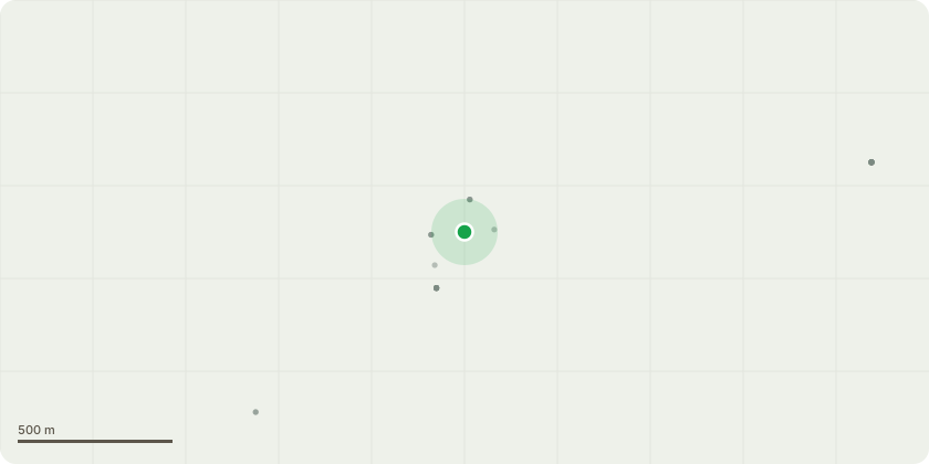
Approximate location
Proposal
There are 4 trees in the garden at Church Cottage, a Grade 2 Listed thatched property in a conservation area. One (OAK on plan) is an oak, in good condition and protected by a TPO. No works are required. We have consulted a professional arborist, who has identified the remaining 3 trees (T1, T2, T3) as North American Black Locust (Robinia pseudoacacia). They are native to eastern and central USA and all parts are highly toxic to humans, dogs and horses (Ref: BlackLocust.pdf, attached) and Ref: https://www.poison.org/articles/are-black-locust-trees-toxic-221. Planned works: (1) Removal of T1 (nearest to house). (2) Thinning and maintenance of T2 and T3, and guidance on potential future removal and replacement with UK-native species. Justification for works to T1 (see attached photos): (1) The tree is in poor condition and presents a risk to the property, church wall and churchyard. The tree leans towards Church Cottage and its canopy extends over part of the property. Falling leaves, blossom and seeds are a risk to the integrity of the thatch. (2) The non-native nature of the tree means that it has not adapted well to the UK climate, branches fall regularly from it (and T2 & T3) in medium-high winds into both the garden of Church Cottage and into the graveyard. (3) The tree is clogged with ivy, which further impacts its stability and growth. (4) The proximity of T1 to T2 means that the canopy of T2 is unbalanced. Removal of T1 would, at least, enable T2 to become more balanced. (5) Overhead power cables to neighbouring properties pass through the branches of T1 (and T2). Neighbours report that, prior to works to strengthen the cable, there have been incidents of the cable being brought down by movement of the tree and branches. (6) The toxicity of the tree, blossom, seeds etc presents a risk both to those in the garden at Church Cottage, or visiting the churchyard were (say) a small child to be injured by the spikes on its branches, or to ingest seeds. (7) The churchyard is a public space and hence the overhang represents something that needs to be taken into consideration along with the points above. The churchyard is central to the village, graves are well maintained and it's visited regularly. Due to the density of the trees along the church wall we would ask the tree officer's advice on replacement. The existing density has prevented T1 and T2 from developing properly and, in an ideal scenario, we'd perhaps propose replacing both T1 and T2 with a single semi-mature native variety that would grow to similar height and canopy - for example a "Resista" Elm, Field Maple etc.
Key dates
- Received 28 Feb 2014
- Started 28 Feb 2014
Planning history / related applications
No related planning applications have been identified in the current public OGL dataset.
Inside plotEdge
Go beyond the public record
This page is the public OGL record. plotEdge adds the private intelligence layer for this site - open it in the app to unlock:
- Ownership & title Registered owner and title from HM Land Registry.
- Viability & build potential Site scoring and development upside.
- Constraints Flood risk, green belt, conservation areas and designations.
- Approval signal Planning risk and approval-likelihood analysis.
- Comparable applications Decisions on similar nearby sites, side by side.
- Status alerts Get notified the moment this application changes.
Source: public planning application data from Cherwell, reused under the Open Government Licence v3.0. View the council source record. Council documents and drawings are not republished on plotEdge.