Cherwell
Cherwell/25/01783/LB
24 Horse Fair Banbury OX16 0AE
- Reference
- Cherwell/25/01783/LB
- Authority
- Cherwell
- Application type
- Listed Building
- Address
- 24 Horse Fair Banbury OX16 0AE
- Postcode
- OX16 0AE
- Status
- Application Permitted
- Decision
- Permitted
- Received
- 5 Aug 2016
- Started
- 5 Aug 2016
- Decided
- 26 Sept 2025
- Source council
- Cherwell
- Council source record
- View public record
- Public data licence
- Open Government Licence v3.0
- Record updated
- 18 Jul 2026
- SEO index generated
- 24 Jul 2026
Location
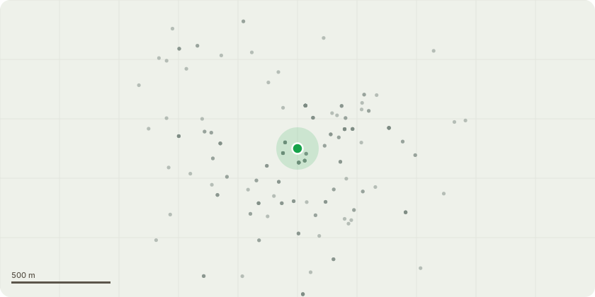
Approximate location
Proposal
Roof repairs. Remove the existing roof coverings of clay and concrete tiles. Remove the bitumen felt and battens and replace as required with new breathable felt and insulate with sheets wool as possible. New treated timber battens as required. New rainwater goods as required to replace with the metal or plastic goods as already on the building but with wide flow. Repointing works to the stone and replacement stone where perished. In particular the large chimney has perished entirely and requires rebuilding in the Hornton stone. This has been dismantled and is being rebuilt like for like. Stone mullions that have perished require some attention and the scope of woks is included in AJ Mills method statements. - existing unauthorised
Key dates
- Received 5 Aug 2016
- Started 5 Aug 2016
- Decided 26 Sept 2025
Planning history / related applications
No related planning applications have been identified in the current public OGL dataset.
Inside plotEdge
Go beyond the public record
This page is the public OGL record. plotEdge adds the private intelligence layer for this site - open it in the app to unlock:
- Ownership & title Registered owner and title from HM Land Registry.
- Viability & build potential Site scoring and development upside.
- Constraints Flood risk, green belt, conservation areas and designations.
- Approval signal Planning risk and approval-likelihood analysis.
- Comparable applications Decisions on similar nearby sites, side by side.
- Status alerts Get notified the moment this application changes.
Source: public planning application data from Cherwell, reused under the Open Government Licence v3.0. View the council source record. Council documents and drawings are not republished on plotEdge.