Cherwell
Cherwell/25/01570/TPO
Second Floor 38 South Bar Street Banbury OX16 9AE
- Reference
- Cherwell/25/01570/TPO
- Authority
- Cherwell
- Application type
- Works To Tree Preservation Order
- Address
- Second Floor 38 South Bar Street Banbury OX16 9AE
- Postcode
- OX16 9AE
- Status
- Application Permitted
- Decision
- Permitted
- Decided
- 4 Sept 2025
- Source council
- Cherwell
- Council source record
- View public record
- Public data licence
- Open Government Licence v3.0
- Record updated
- 18 Jul 2026
- SEO index generated
- 24 Jul 2026
Location
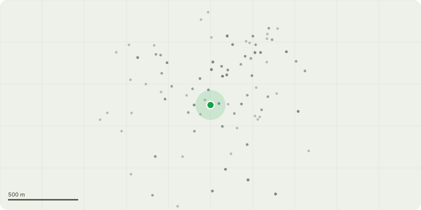
Approximate location
Proposal
T1 is a mature hornbeam located in the rear car park area of no. 38 South Bar Street. Works required are to carry out a 2m complete overall crown reduction, ensuring to reduce the crown back away from contact with the building, giving a 2-3m clearance around the building side of the crown. Removal of any major crossing or rubbing branches that may cause future failure. Leaving a balanced uniform crown. T2 is a mature lime tree located to the rear car park entrance on the left hand side. Works required are to carry out a 5m crown lift over the road and car park. Plus target prune of overhanging branches reducing them by 3m back to suitable growth points to lift them off neighbouring buildings as they are rubbing on them. carry out aerial inspection of the tree at historical pollard point to see extent of bark inclusions at major branch unions incase possible future reduction is required to maintain tree - subject to TPO 20/2024
Key dates
- Decided 4 Sept 2025
Planning history / related applications
No related planning applications have been identified in the current public OGL dataset.
Inside plotEdge
Go beyond the public record
This page is the public OGL record. plotEdge adds the private intelligence layer for this site - open it in the app to unlock:
- Ownership & title Registered owner and title from HM Land Registry.
- Viability & build potential Site scoring and development upside.
- Constraints Flood risk, green belt, conservation areas and designations.
- Approval signal Planning risk and approval-likelihood analysis.
- Comparable applications Decisions on similar nearby sites, side by side.
- Status alerts Get notified the moment this application changes.
Source: public planning application data from Cherwell, reused under the Open Government Licence v3.0. View the council source record. Council documents and drawings are not republished on plotEdge.