Cherwell
Cherwell/25/01106/TCA
Orchard View Street From Main Street To Swalcliffe Lea Upper Tadmarton OX15 5TB
- Reference
- Cherwell/25/01106/TCA
- Authority
- Cherwell
- Application type
- Works To Trees In Conservation Area
- Address
- Orchard View Street From Main Street To Swalcliffe Lea Upper Tadmarton OX15 5TB
- Postcode
- OX15 5TB
- Status
- Under Consultation
- Received
- 11 Nov 2002
- Started
- 11 Nov 2002
- Source council
- Cherwell
- Council source record
- View public record
- Public data licence
- Open Government Licence v3.0
- Record updated
- 18 Jul 2026
- SEO index generated
- 24 Jul 2026
Location
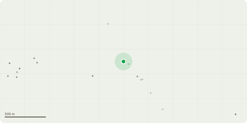
Approximate location
Proposal
.T1 - Mature Ash - Approx 12m in height .Preposed Work - Fell .Reason for Preposed work - The tree is located on the north corner boundary of the garden. The tree is growing just inside the boundary dry stone wall. the crown overhangs the highway on the north/west side of the wall by approx 5m. The vitality of the tree is poor and in severe decline, most likely due to dieback. The tree has dropped large limbs recently and the duty holders are concerned about the highway. The tree is only going to decline further and therefore we would like to fell. the duty holder is planning on mitigating the loss by planting a group of small trees close to the north/east boundary fence. . T2 - Mature Willow - Approx 12m in height . Preposed work - Crown raising BY approx 4m on the south/west facing growth back to boundary line. . Reason for proposed work - The tree is located just behind the north/east boundary fence in another property's grounds. We are hoping to reduce the growth that exceeds the boundary line with ensuring the pruning will not be in any way detrimental to the tree. My clients have gained permission from the duty holder to carry out the work.
Key dates
- Received 11 Nov 2002
- Started 11 Nov 2002
Planning history / related applications
No related planning applications have been identified in the current public OGL dataset.
Inside plotEdge
Go beyond the public record
This page is the public OGL record. plotEdge adds the private intelligence layer for this site - open it in the app to unlock:
- Ownership & title Registered owner and title from HM Land Registry.
- Viability & build potential Site scoring and development upside.
- Constraints Flood risk, green belt, conservation areas and designations.
- Approval signal Planning risk and approval-likelihood analysis.
- Comparable applications Decisions on similar nearby sites, side by side.
- Status alerts Get notified the moment this application changes.
Source: public planning application data from Cherwell, reused under the Open Government Licence v3.0. View the council source record. Council documents and drawings are not republished on plotEdge.