Cherwell
Cherwell/25/00161/LB
Tudor Cottage 22 Church Street Bicester OX26 6AZ
- Reference
- Cherwell/25/00161/LB
- Authority
- Cherwell
- Application type
- Listed Building
- Address
- Tudor Cottage 22 Church Street Bicester OX26 6AZ
- Postcode
- OX26 6AZ
- Status
- Application Permitted
- Decision
- Permitted
- Received
- 20 Mar 2024
- Started
- 20 Mar 2024
- Decided
- 27 Mar 2025
- Source council
- Cherwell
- Council source record
- View public record
- Public data licence
- Open Government Licence v3.0
- Record updated
- 18 Jul 2026
- SEO index generated
- 24 Jul 2026
Location
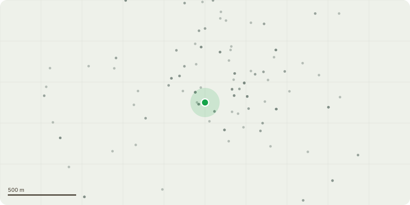
Approximate location
Proposal
Remove 1970's replacement concrete floor and quarry tile finishes and re-new with specialist limecrete breathable screed floor on glass bead insulation. Replace decayed section of timber floor in limecrete flooring. Limestone tile floor finish. Remove later floor to kitchen extension lower levels and replace as described above. Underpin rear later brick wall to kitchen. Remove centre stone pier in lounge (not original installed circa 1970's) and replace with 150mm square (salavaged) oak post/s. Remove oak posts to rear beam installed circa 1970's and replace with masonry nib from pad foundation (oak post used to replace stone pier above). Remove later stone fire breast and hearth and replace with open fire to discharge on line of existing chimney. Replace current modern felt sloping roof over rear projection to lounge with flat roof linked to flat roof of kitchen. Re-new flat roof covering and install 2 No. flat rooflights. Replace current aluminium windows with cosmetic leaded light details to rear bedroom/en-suite and kitchen with Residence 9 over similar flush casement windows. Remove plywood panelling from front entrance hallway and restore plaster finishes
Key dates
- Received 20 Mar 2024
- Started 20 Mar 2024
- Decided 27 Mar 2025
Planning history / related applications
No related planning applications have been identified in the current public OGL dataset.
Inside plotEdge
Go beyond the public record
This page is the public OGL record. plotEdge adds the private intelligence layer for this site - open it in the app to unlock:
- Ownership & title Registered owner and title from HM Land Registry.
- Viability & build potential Site scoring and development upside.
- Constraints Flood risk, green belt, conservation areas and designations.
- Approval signal Planning risk and approval-likelihood analysis.
- Comparable applications Decisions on similar nearby sites, side by side.
- Status alerts Get notified the moment this application changes.
Source: public planning application data from Cherwell, reused under the Open Government Licence v3.0. View the council source record. Council documents and drawings are not republished on plotEdge.