Cherwell
Cherwell/25/00021/TCA
Wychwood Meadow View Adderbury OX17 3LZ
- Reference
- Cherwell/25/00021/TCA
- Authority
- Cherwell
- Application type
- Works To Trees In Conservation Area
- Address
- Wychwood Meadow View Adderbury OX17 3LZ
- Postcode
- OX17 3LZ
- Status
- Application Permitted
- Decision
- Level
- Received
- 26 Sept 2007
- Started
- 26 Sept 2007
- Decided
- 14 Feb 2025
- Source council
- Cherwell
- Council source record
- View public record
- Public data licence
- Open Government Licence v3.0
- Record updated
- 12 Jul 2026
- SEO index generated
- 24 Jul 2026
Location
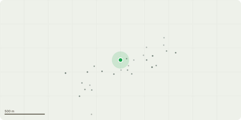
Approximate location
Proposal
T1 - T5 Fell . Following the recent storms one of the Scots Pine, which appeared healthy, positioned between T1 and T2 fell onto my house. The top of the tree hit close to the ridge and on impact the top 5-6m of the tree broke off. The attached pictures shows this. By complete luck the damage was not far worse and no one was hurt. I want to remove the remaining tall Pines to ensure this can not happen again. If I do not now undertake these works having had this event it is unlikely my insurance would be valid for a future similar event. The trees are now very tall and severely shade the garden providing limited amenity against significant risk of harm.
Key dates
- Received 26 Sept 2007
- Started 26 Sept 2007
- Decided 14 Feb 2025
Planning history / related applications
No related planning applications have been identified in the current public OGL dataset.
Inside plotEdge
Go beyond the public record
This page is the public OGL record. plotEdge adds the private intelligence layer for this site - open it in the app to unlock:
- Ownership & title Registered owner and title from HM Land Registry.
- Viability & build potential Site scoring and development upside.
- Constraints Flood risk, green belt, conservation areas and designations.
- Approval signal Planning risk and approval-likelihood analysis.
- Comparable applications Decisions on similar nearby sites, side by side.
- Status alerts Get notified the moment this application changes.
Source: public planning application data from Cherwell, reused under the Open Government Licence v3.0. View the council source record. Council documents and drawings are not republished on plotEdge.