Cherwell
Cherwell/24/03291/TCA
Dove Close House The Bourne Hook Norton OX15 5NR
- Reference
- Cherwell/24/03291/TCA
- Authority
- Cherwell
- Application type
- TCA - 5 Day Notice
- Address
- Dove Close House The Bourne Hook Norton OX15 5NR
- Postcode
- OX15 5NR
- Status
- Under Consultation
- Received
- 20 Feb 1996
- Started
- 20 Feb 1996
- Source council
- Cherwell
- Council source record
- View public record
- Public data licence
- Open Government Licence v3.0
- Record updated
- 18 Jul 2026
- SEO index generated
- 24 Jul 2026
Location
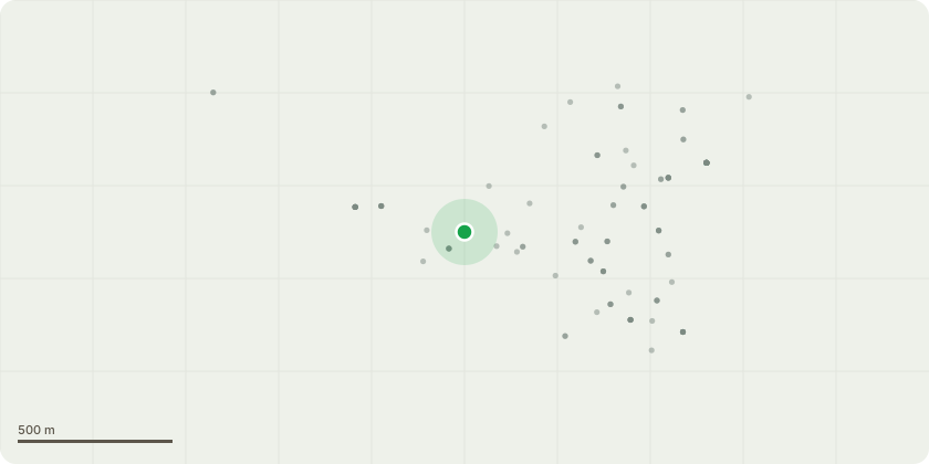
Approximate location
Proposal
1 x Small Poplar 15m high has failed at the base of the tree and is resting on the larger 25m Poplar next to it. The small Poplar needs removing completely as the base of the trunk has failed. It it falls away from its current supporting branches, it will fall onto the BT line of the neighbouring property. The larger Poplar needs removing or pollarding right down to the first split as there is evidence of hornet moth activity at the base, and water ingress following previous damage. We have had quotes from 2 arboriculture companies, who have both recommended removal of both trees. We have other sapling trees currently growing in pots (cotoneaster and holly) which we would plant to replace these trees. The
Key dates
- Received 20 Feb 1996
- Started 20 Feb 1996
Planning history / related applications
No related planning applications have been identified in the current public OGL dataset.
Inside plotEdge
Go beyond the public record
This page is the public OGL record. plotEdge adds the private intelligence layer for this site - open it in the app to unlock:
- Ownership & title Registered owner and title from HM Land Registry.
- Viability & build potential Site scoring and development upside.
- Constraints Flood risk, green belt, conservation areas and designations.
- Approval signal Planning risk and approval-likelihood analysis.
- Comparable applications Decisions on similar nearby sites, side by side.
- Status alerts Get notified the moment this application changes.
Source: public planning application data from Cherwell, reused under the Open Government Licence v3.0. View the council source record. Council documents and drawings are not republished on plotEdge.