Cherwell
Cherwell/24/02937/OUT
Land Parcels For Central Energy Centre Somerton Road Upper Heyford OX25 5LB
- Reference
- Cherwell/24/02937/OUT
- Authority
- Cherwell
- Application type
- Outline Application
- Address
- Land Parcels For Central Energy Centre Somerton Road Upper Heyford OX25 5LB
- Postcode
- OX25 5LB
- Status
- Application Permitted
- Decision
- Permitted
- Decided
- 29 Apr 2025
- Source council
- Cherwell
- Council source record
- View public record
- Public data licence
- Open Government Licence v3.0
- Record updated
- 18 Jul 2026
- SEO index generated
- 24 Jul 2026
Location
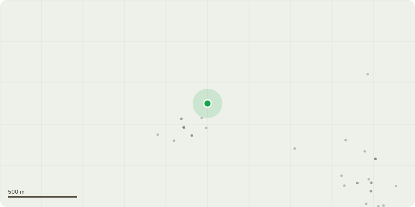
Approximate location
Proposal
Outline planning application with All Matters Reserved: The Upper Heyford Heat Network is to provide low-carbon heat supply to 156 buildings in Upper Heyford Village. The buildings comprise 153 Domestic buildings and 3 non-domestic buildings comprising The Barley Mow (public house), Upper Heyford Reading Rooms and Upper Heyford Village Hall. The three main construction components to the work: 1 - Drilling of 134 no. boreholes to accommodate the closed loop ground source pipework which will provide the long-term low-grade heat for the heat network; 2 - A newly constructed, single storey energy centre building housing internal Ground Source Heat Pump (GSHP) units, thermal storage and other heat generation and supply infrastructure - the building will have external Air Source Heat Pump (ASHP) units and associated pipework; 3 - Approximately 6,614m of trench work to connect pipework from the boreholes to the energy centre and the primary heat distribution system to all the participating buildings via dedicated, in property heat interface units (HIU)
Key dates
- Decided 29 Apr 2025
Planning history / related applications
No related planning applications have been identified in the current public OGL dataset.
Inside plotEdge
Go beyond the public record
This page is the public OGL record. plotEdge adds the private intelligence layer for this site - open it in the app to unlock:
- Ownership & title Registered owner and title from HM Land Registry.
- Viability & build potential Site scoring and development upside.
- Constraints Flood risk, green belt, conservation areas and designations.
- Approval signal Planning risk and approval-likelihood analysis.
- Comparable applications Decisions on similar nearby sites, side by side.
- Status alerts Get notified the moment this application changes.
Source: public planning application data from Cherwell, reused under the Open Government Licence v3.0. View the council source record. Council documents and drawings are not republished on plotEdge.