Cherwell
Cherwell/24/02603/TCA
Stonehaven Troy Lane Kirtlington OX5 3HA
- Reference
- Cherwell/24/02603/TCA
- Authority
- Cherwell
- Application type
- Works To Trees In Conservation Area
- Address
- Stonehaven Troy Lane Kirtlington OX5 3HA
- Postcode
- OX5 3HA
- Status
- Under Consultation
- Received
- 24 Nov 2008
- Started
- 24 Nov 2008
- Source council
- Cherwell
- Council source record
- View public record
- Public data licence
- Open Government Licence v3.0
- Record updated
- 18 Jul 2026
- SEO index generated
- 24 Jul 2026
Location
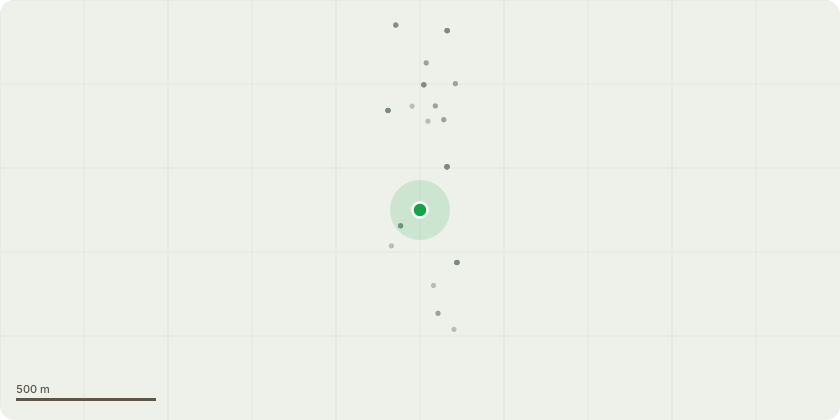
Approximate location
Proposal
T1 - Sycamore adjacent to entrance, reduce in height by approximately 50%, retaining young lower branches. Lightly shape remaining lower branches to leave a pleasing appearance. Reduce to a point just above main fork, approximately 50% of canopy. Reason - significant decay at base on root spur adjacent to composting area. Significant dieback in upper canopy. Major dead wood overhanging entrance gate. T4 - Ailanthus situated in southeast corner, lift canopy clear of BT cable and remove major dead wood liable to fall towards access track in front of properties. Reason - large dead wood in lower canopy. Low branches encroaching towards BT cable. T9 - Beech, reduce weight by removing approximately 3 metres end growth to a suitable live point to maintain overall pleasing appearance but reducing weight and risk of large branch collapse. Reason - decay in base. Weight leaning significantly towards garden. Low risk of collapse of tree towards neighbouring access track and neighbouring property. Major dead wood in upper canopy. Significant weight on two large limbs extending over lawn area towards young specimen Oak. Risk of collapse.
Key dates
- Received 24 Nov 2008
- Started 24 Nov 2008
Planning history / related applications
No related planning applications have been identified in the current public OGL dataset.
Inside plotEdge
Go beyond the public record
This page is the public OGL record. plotEdge adds the private intelligence layer for this site - open it in the app to unlock:
- Ownership & title Registered owner and title from HM Land Registry.
- Viability & build potential Site scoring and development upside.
- Constraints Flood risk, green belt, conservation areas and designations.
- Approval signal Planning risk and approval-likelihood analysis.
- Comparable applications Decisions on similar nearby sites, side by side.
- Status alerts Get notified the moment this application changes.
Source: public planning application data from Cherwell, reused under the Open Government Licence v3.0. View the council source record. Council documents and drawings are not republished on plotEdge.