Cherwell
Cherwell/24/02356/TPO_5
7 Lower Close Bodicote Banbury OX15 4DZ
- Reference
- Cherwell/24/02356/TPO_5
- Authority
- Cherwell
- Application type
- TPO - 5 Day Notice
- Address
- 7 Lower Close Bodicote Banbury OX15 4DZ
- Postcode
- OX15 4DZ
- Status
- Application Permitted
- Decision
- Permitted
- Received
- 31 Jan 2026
- Started
- 31 Jan 2026
- Decided
- 4 Sept 2024
- Source council
- Cherwell
- Council source record
- View public record
- Public data licence
- Open Government Licence v3.0
- Record updated
- 18 Jul 2026
- SEO index generated
- 24 Jul 2026
Location
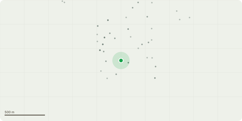
Approximate location
Proposal
FIVE DAY NOTICE - T1 Lime tree (T1) Felling of tree to ground level, tree is in a dangerous condition and requires immediate intervention. Lime tree to be felled to ground height to safeguard the local residents and properties. Lime tree has suffered significant wind damage leading to 1 limb becoming detached from the main body and fallen onto a neighbouring garden as well as the garden of 7 Lower Close. The remaining 2 limbs are held on my minimal amounts of timber and from an inspection by an arborist are likely to fall from future growth or further wind damage. The 2 limbs remaining are hollow and will fall onto neighbouring properties causing significant damage due to the size and growth of the tree. The Lime Tree has clearly been pollarded in the past and not been cared for from this point onwards, leaving the tree to grow in an unsafe manner and direction.
Key dates
- Received 31 Jan 2026
- Started 31 Jan 2026
- Decided 4 Sept 2024
Planning history / related applications
No related planning applications have been identified in the current public OGL dataset.
Inside plotEdge
Go beyond the public record
This page is the public OGL record. plotEdge adds the private intelligence layer for this site - open it in the app to unlock:
- Ownership & title Registered owner and title from HM Land Registry.
- Viability & build potential Site scoring and development upside.
- Constraints Flood risk, green belt, conservation areas and designations.
- Approval signal Planning risk and approval-likelihood analysis.
- Comparable applications Decisions on similar nearby sites, side by side.
- Status alerts Get notified the moment this application changes.
Source: public planning application data from Cherwell, reused under the Open Government Licence v3.0. View the council source record. Council documents and drawings are not republished on plotEdge.