Chelmsford
Chelmsford/24/05702/CAT
The White House South Street Great Waltham Chelmsford Essex CM3 1DF
- Reference
- Chelmsford/24/05702/CAT
- Authority
- Chelmsford
- Application type
- CAT
- Address
- The White House South Street Great Waltham Chelmsford Essex CM3 1DF
- Postcode
- CM3 1DF
- Status
- No Objection
- Received
- 8 Oct 2024
- Started
- 8 Oct 2024
- Decided
- 30 Oct 2024
- Source council
- Chelmsford
- Council source record
- View public record
- Public data licence
- Open Government Licence v3.0
- Record updated
- 18 Jul 2026
- SEO index generated
- 24 Jul 2026
Location
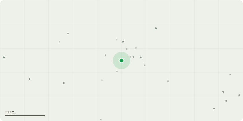
Approximate location
Proposal
Sycamore (Marked T1) - 6m pollard - Reason: decay and fungal growth problems. Tree is certainly coming towards the end of its life and the customer wants to pollard it to a safe height. Fungal brackets in the centre of the tree and large areas of deadwood. Tree overhangs an entrance to a park and building close by.Hedgerow (Marked T2)(at the front) - To be reduced by 3ft and tidied up on either side. - Reason: General Maintenance 3 x Hazels (Marked T3) - To be felled to ground level and stumps ground out;Damson (Marked T4) - Fell - Reason: Dropping plums on next doors patio and causing slip hazard problems for the neighbour.3 x Conifers (Marked T5) - Fell and grind the stump (approx 6ft tall);Sycamore (Marked T6) - Fell and grind the stump - Reason: Growing too close to the neighbours fence and property, also very close to the oil tank and concrete pad which the tanks situated on. (Potential subsidence problems in the future) Conifer (Marked T7) - Fell and grind the stump - Reason: Too close to next doors fence and property (potential subsidence problems in the future) ready for new more manageable trees to be planted.Poplar (Marked T8) - Crown reduction of 3m to old points, and deadwood removal if needed
Key dates
- Received 8 Oct 2024
- Started 8 Oct 2024
- Decided 30 Oct 2024
Planning history / related applications
No related planning applications have been identified in the current public OGL dataset.
Inside plotEdge
Go beyond the public record
This page is the public OGL record. plotEdge adds the private intelligence layer for this site - open it in the app to unlock:
- Ownership & title Registered owner and title from HM Land Registry.
- Viability & build potential Site scoring and development upside.
- Constraints Flood risk, green belt, conservation areas and designations.
- Approval signal Planning risk and approval-likelihood analysis.
- Comparable applications Decisions on similar nearby sites, side by side.
- Status alerts Get notified the moment this application changes.
Source: public planning application data from Chelmsford, reused under the Open Government Licence v3.0. View the council source record. Council documents and drawings are not republished on plotEdge.