Chelmsford
Chelmsford/24/05253/TPO
Village Hall Wantz Road Margaretting Ingatestone CM4 0EP
- Reference
- Chelmsford/24/05253/TPO
- Authority
- Chelmsford
- Application type
- Tree preservation order
- Address
- Village Hall Wantz Road Margaretting Ingatestone CM4 0EP
- Postcode
- CM4 0EP
- Status
- Application Permitted
- Received
- 18 Nov 2024
- Started
- 18 Nov 2024
- Decided
- 23 Dec 2024
- Source council
- Chelmsford
- Council source record
- View public record
- Public data licence
- Open Government Licence v3.0
- Record updated
- 18 Jul 2026
- SEO index generated
- 24 Jul 2026
Location
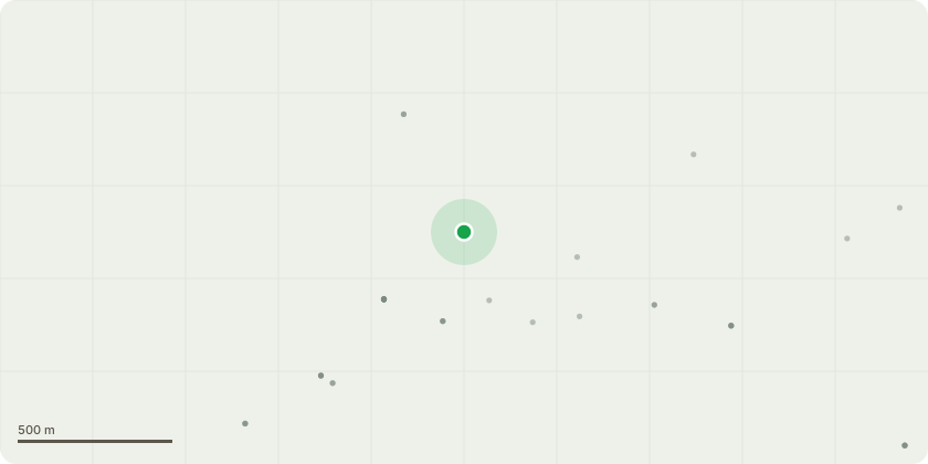
Approximate location
Proposal
T15 and T16 - Lime x 2 - either side of the entrance drive leading to the garages for the adjacent cottages and Margaretting Village Hall - 6 year management plan to bi-annually cut back branches overhanging the entrance to the driveway by 4m from ground level, cutting back to suitable growing points. Reason: to maintain access to the premises and prevent damage to the protected trees and to high sided vehicles such as local authority dustcarts being damaged when they attend site to empty the rubbish bins.G1 - 9x Ash, 8x Hornbeam, 3 x Lime, 3 x Oak, 2 x Holly - on the northern boundary of the Sports Ground, adjacent to Wantz Road and the A12 on slip road - 6 year management plan to bi-annually cut back branches overhanging the playing field to 4m from ground level, cutting back to suitable growing points and removing epicormic growth back to the boundary fence to try and encourage thickening of the hedgerow. Reason: to allow cricket screens to be erected along the boundary to prevent stray cricket balls egressing onto Wantz Road and the A12 slip road on highway safety grounds.
Key dates
- Received 18 Nov 2024
- Started 18 Nov 2024
- Decided 23 Dec 2024
Planning history / related applications
No related planning applications have been identified in the current public OGL dataset.
Inside plotEdge
Go beyond the public record
This page is the public OGL record. plotEdge adds the private intelligence layer for this site - open it in the app to unlock:
- Ownership & title Registered owner and title from HM Land Registry.
- Viability & build potential Site scoring and development upside.
- Constraints Flood risk, green belt, conservation areas and designations.
- Approval signal Planning risk and approval-likelihood analysis.
- Comparable applications Decisions on similar nearby sites, side by side.
- Status alerts Get notified the moment this application changes.
Source: public planning application data from Chelmsford, reused under the Open Government Licence v3.0. View the council source record. Council documents and drawings are not republished on plotEdge.