Chelmsford
Chelmsford/24/05252/TPO
18 Redgates Place Chelmsford Essex CM2 6BG
- Reference
- Chelmsford/24/05252/TPO
- Authority
- Chelmsford
- Application type
- Tree preservation order
- Address
- 18 Redgates Place Chelmsford Essex CM2 6BG
- Postcode
- CM2 6BG
- Status
- Application Permitted
- Received
- 18 Nov 2024
- Started
- 18 Nov 2024
- Decided
- 2 Jan 2025
- Source council
- Chelmsford
- Council source record
- View public record
- Public data licence
- Open Government Licence v3.0
- Record updated
- 18 Jul 2026
- SEO index generated
- 24 Jul 2026
Location
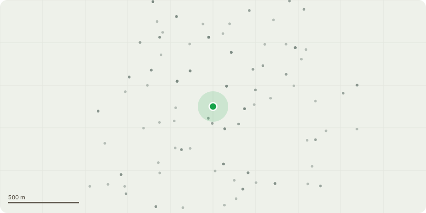
Approximate location
Proposal
T12 Oak Tree - Remove dead wood, Perform crown lifting to improve light for T13 (Holly) and remove lower branches overhanging footpath on Springfield Road. Reduce crown by up to 2.4m allowing more light into garden, and remove up to 2.4meof branches currently overhanging springfield road and getting close proximity of vehicles; T15 Oak Tree - Remove dead wood, Perform crown lifting to improve light into living room of 18 Redgates, and remove lower branches overhanging footpath on Springfield Road (some previous branches have been pushed over fence as previously reported).Reduce crown by up to 2.4m as branches within 1m of house (roof), and remove up to 2.4meters of branches currently overhanging springfield road and getting close proximity of vehicles. ;T13 Holly - Crown thinining 10%, reduce top of crown by 1m to maintain height; T14 Holly - Tree is currently leaning circa 30% and starting to lift patio next to house. Crown reduction by up to 2m and monitor; T17 Holly - Poor speciman (trunk less than 8") due to lack of light from both T15 Oak tree, and neighbours T18 (Beech) along with a previous non TPO very large Leylandii. Due to the position of the Holly, this restricts the use at the back of sheds. Removal of tree and replant alternative in seperate location.
Key dates
- Received 18 Nov 2024
- Started 18 Nov 2024
- Decided 2 Jan 2025
Planning history / related applications
No related planning applications have been identified in the current public OGL dataset.
Inside plotEdge
Go beyond the public record
This page is the public OGL record. plotEdge adds the private intelligence layer for this site - open it in the app to unlock:
- Ownership & title Registered owner and title from HM Land Registry.
- Viability & build potential Site scoring and development upside.
- Constraints Flood risk, green belt, conservation areas and designations.
- Approval signal Planning risk and approval-likelihood analysis.
- Comparable applications Decisions on similar nearby sites, side by side.
- Status alerts Get notified the moment this application changes.
Source: public planning application data from Chelmsford, reused under the Open Government Licence v3.0. View the council source record. Council documents and drawings are not republished on plotEdge.